
Cawsom wlad i’w chadw
‘We were given a country to keep’
from ‘Etifeddiaeth’ by Gerallt Lloyd Owen
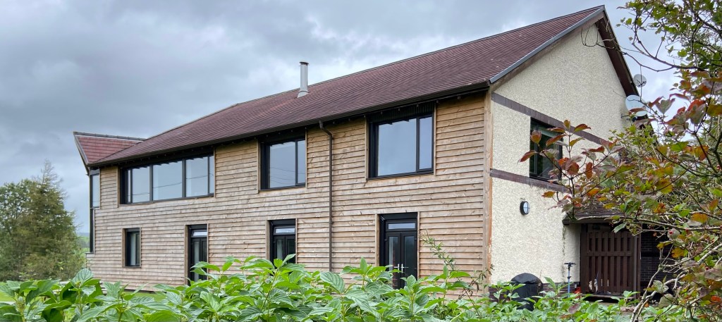
Despite the howling winds last night, I slept like a log until 6.45. I’m sure my excellent night’s sleep was helped by the gigantic portion of home-made lasagna and the red wine that Polly and Phill and I had drunk as we chatted over supper last night, about their huge project to restore the ex-county-owned outdoor centre during Covid almost single-handedly, and create The Lodge, an eco-friendly outdoor centre, specialising in mountain biking.

I didn’t take a photo of Polly and Phil, but this of them in a framed photo from a biking magazine on the wall in the little kitchen, of them both doing what they love best.
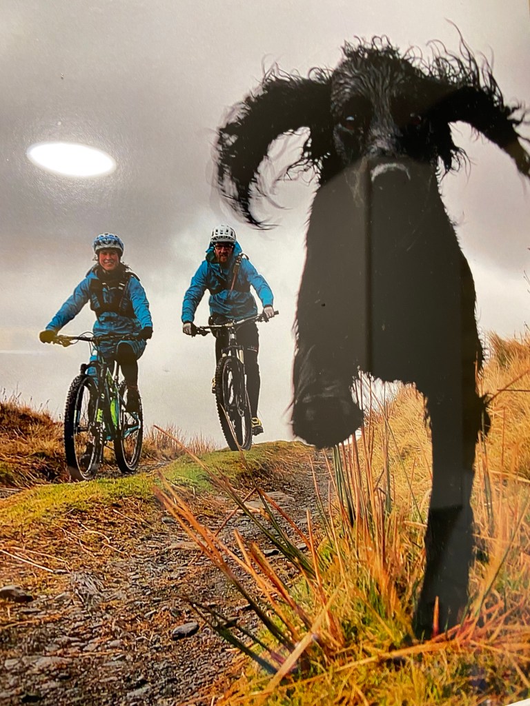
The spaniel in the photo is the mother of Polly and Phil’s dog Suky, who was a good companion this morning as I ate my breakfast of overnight oats. I think it’s the best walking supper and breakfast combo I’ve ever had — and I expect that contributed to the brilliant day’s walking today.

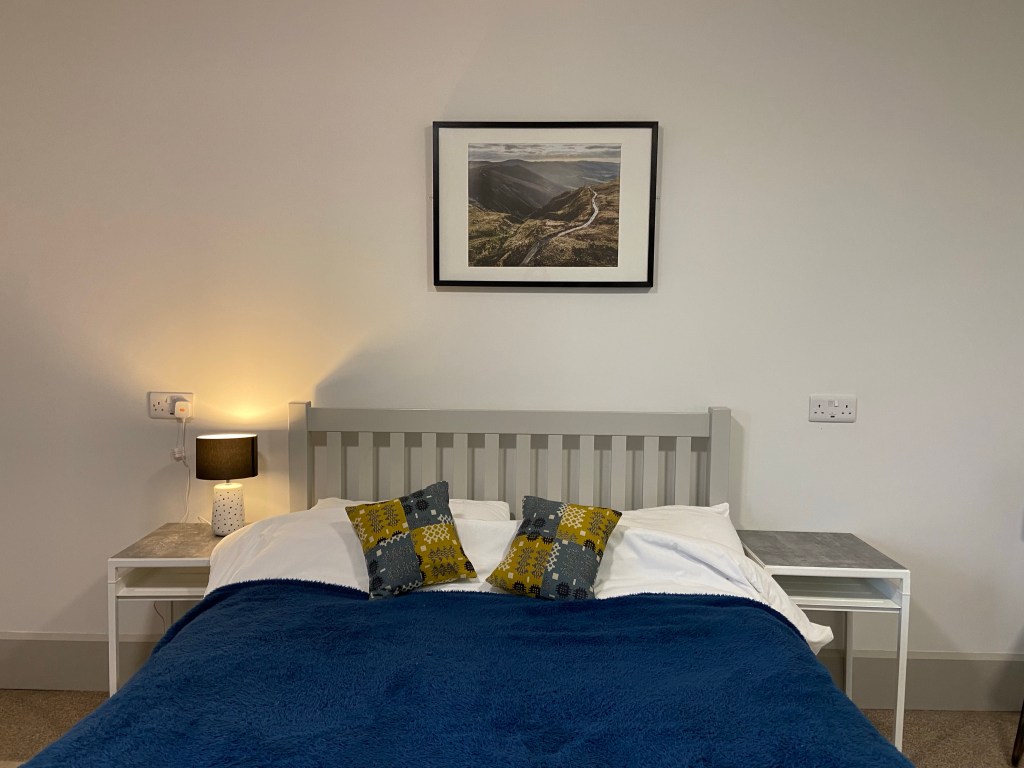
Phill and Polly know this area like the backs of their hands, and last night had advised me against the route I had planned. The conditions underfoot were tussocky and not very pleasant walking. Instead they recommended following Glyndŵr’s Way over Mynydd Esgairfochnant past Glaslyn, which had been my original route off the hills after my planned wild camp near the sources of the rivers Wye and Severn. That way I would get to see the extraordinary ravine carved out by the Avon Dulas as it drains out of the lake. There was a picture of the descent track over my bed. It looked ravishing.
This morning Phill gave me another golden piece of advice to tweak the route to avoid a farm with loose dogs. I have a lot to thank him and Polly for.
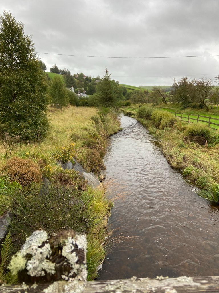
One of the things that excited me most about this walk was that it was going to avoid road-walking today for a good stretch of the route. Almost immediately, it went straight out into farmland and over the Clywedog.
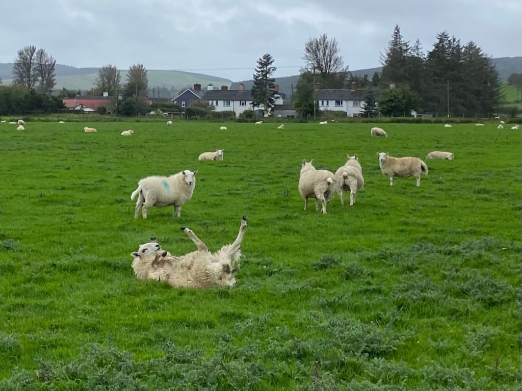
There followed a few kilometres of close encounters of the ovine kind: the first was a laid-back sheep sleeping with her legs in the air who couldn’t roll over when the others around her ran away.
Then I came across these characterful creatures, very different from the usual Welsh sheep (though quite as idiosyncratic as the breakdancer above):
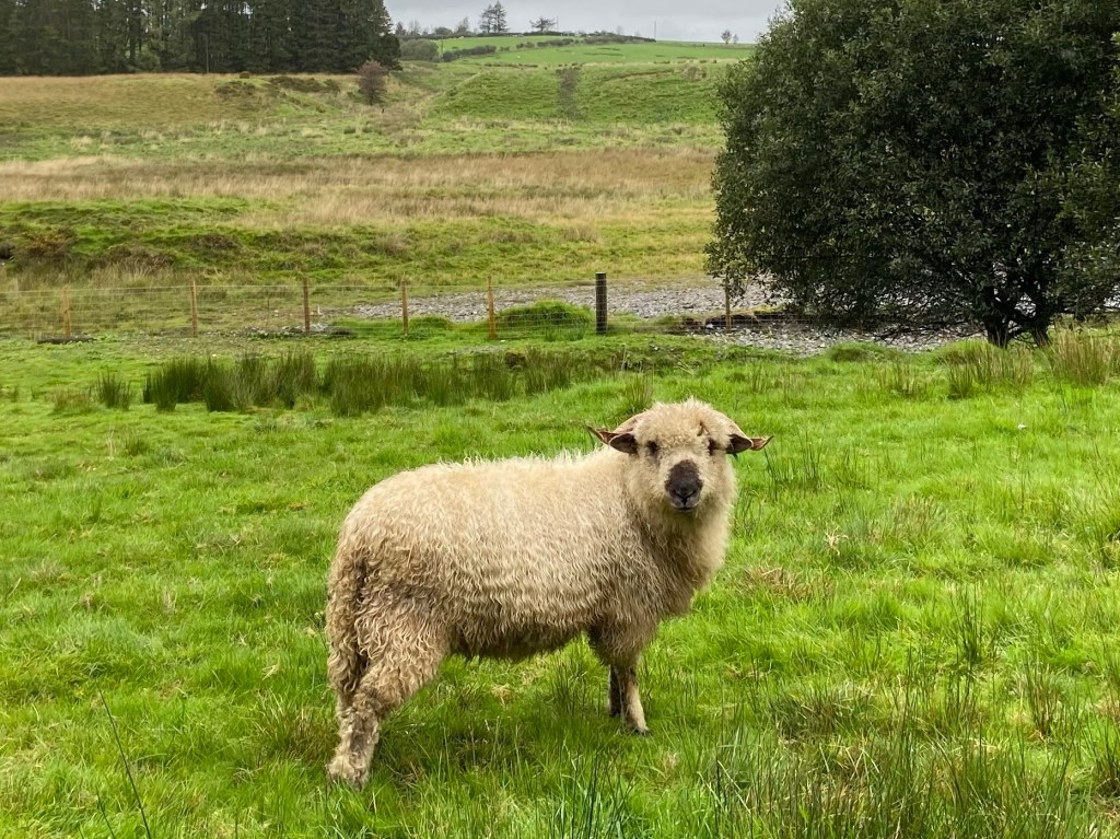

A few hundred yards up the track I met Margaret Bennett, the owner of these wonderful animals. When she has time she spins their wool and knits with it. She told me she’d recently won first prize at a show for a lace wrap made from the wool of her own sheep mixed with silk yarn. It sounds as though she rather clears up: the sheep win prizes too. They were extraordinary! The one she was chatting to when we met is a Swiss Valais Blacknose — with prize-winning spiral horns, for sure.

I consulted Margaret about the route ahead. There were two paths to choose from, both apparently involving a possible confrontation with a bull and some cows, so I chose the path which according to local expert Margaret would afford me some protection from them in the form of a sunken track. I set off up it — the steepest climb of the day — wondering whether it would be possible to transform a walking pole into an electric cattle-prod. I’d probably make my fortune.

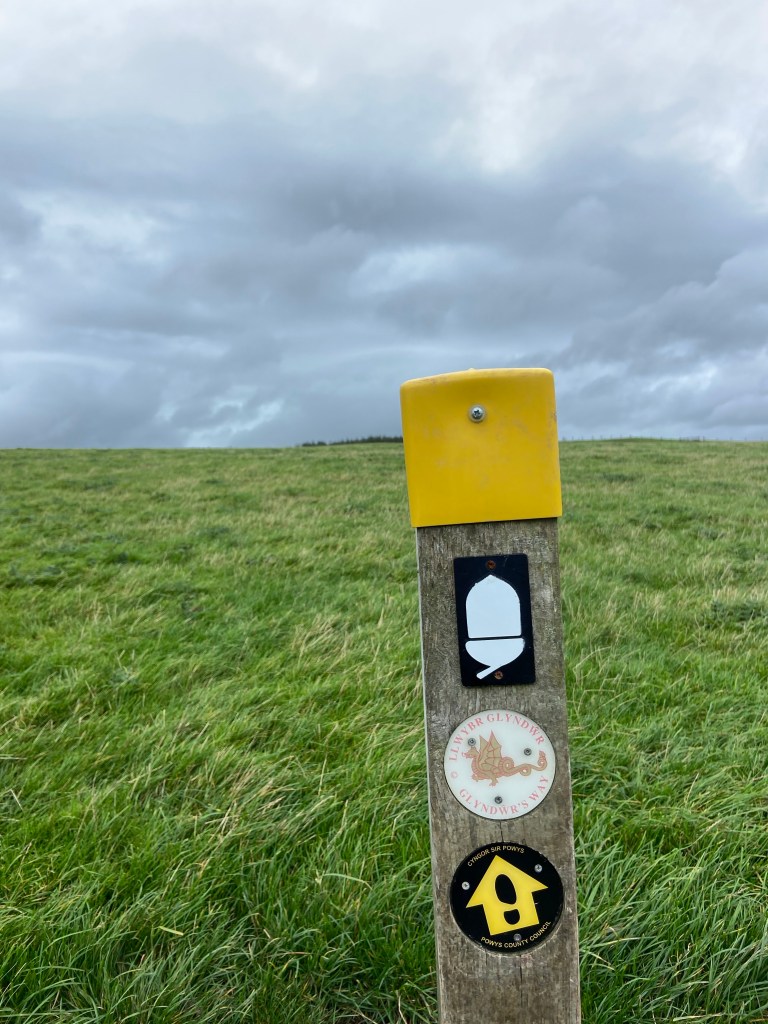
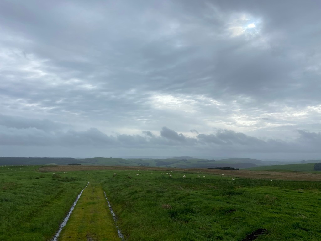
As it turned out, I saw no trace of any cows all day, a fact for which I was profoundly grateful. Instead, Glyndŵr’s Way climbed steeply upwards over a slope featureless apart from the wayposts helpfully stuck into the ground to guide walkers, riders and cyclists.
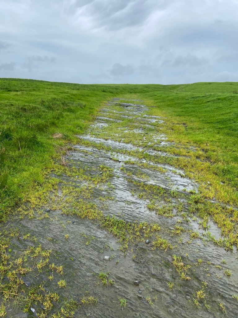
Once the climb was finished with the path turned into a long, straight track — something of a Cambrian motorway. Where the path scraped down to bedrock I found myself walking over the vertical bedding planes of mudstone and shale again, providing excellent traction. In the muddier sections mountain bike tyre tracks were clearly visible, which felt like a little wave from Polly and Phill.

At the top of Penycrocbren (a lovely-sounding word which unfortunately means Gallows Head) the map showed a Roman Fortlet. I wondered whether the track I was on, unfurling efficiently in a series of straight sections right across this landscape, was originally a Roman Road.
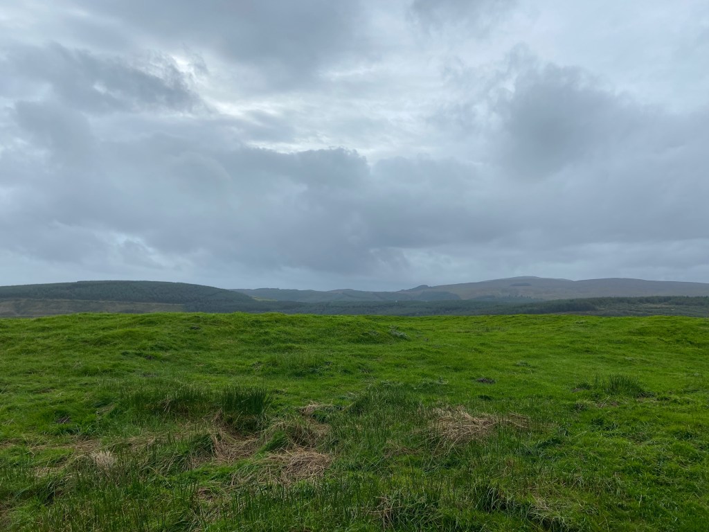
The fortlet consisted of visible earthworks in a rectangle with an entrance easily made out in the ground but not quite so much in this picture. Quite some billet for the soldiers some 1700 years ago: a stiff wind blowing, carrying moisture that wasn’t quite rain, and a terrific view. Behind the fortlet rose the Banc Bugeilyn, and behind that, just visible, were the higher sandstone slopes of the Pumlumon massif which marks the highest point of the Cambrian Mountains — near the top of which I should have camped last night.
Well. I think if it didn’t work out long-term for the hardy Romans up here it probably wouldn’t have been that hospitable for a middle-aged woman hiker either. They certainly weren’t around to offer me a cup of tea, anyway, so I pressed on, completely happy to be up so high with the mountains all to myself, walking along another straight section of track with a dyke to one side — I liked to think that was a Roman construction too.
Glyndŵr’s Way doubled up here with the Cambrian Way, a national trail which runs from the north to south coasts of Wales, taking in all the highest peaks — Y Wyddfa Snowdon, Cadair Idris, Pumlumon. I had been pleased that I’d encountered traces of the Romans up here, because I’d thought that ‘Cambria’ was the Roman name for Wales. However, it turns out that the word is the 12th century coinage of quasi-historian Geoffrey of Monmouth. Disappointed.
I consoled myself with the discovery of the very tip of a sheep’s horn. I wondered how it had broken off. I did not pocket it for mum’s hat.

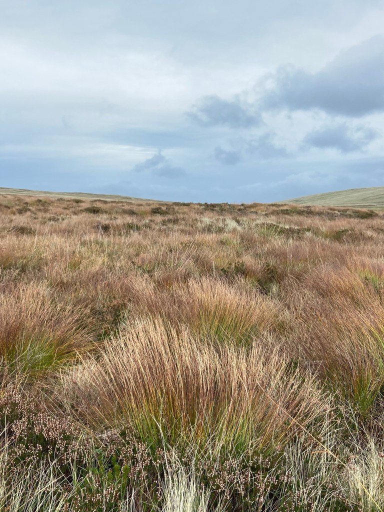
Fenced land had now mostly given way to open moorland, and the improved grasses of the valleys were replaced with the rough moor-grasses capable of surviving the tough upland conditions.
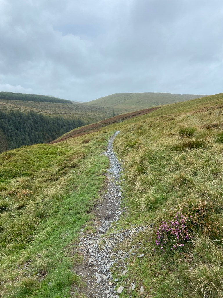
My narrow path contoured along the edge of a deep ravine.
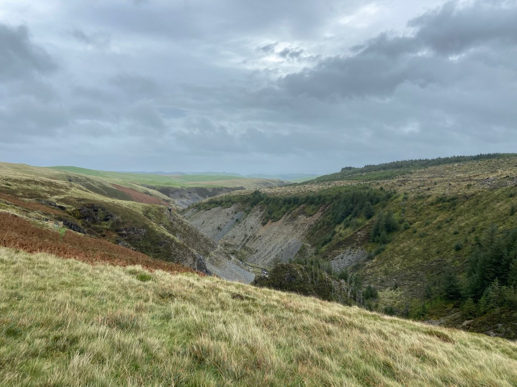
Mudstone lay everywhere in friable piles on the ground. It is clearly very vulnerable to being washed away by fast-flowing water.
The path briefly descended to make a crossing where the Nant Ddu meets the Nant Coch, the ‘black stream’ with the waterfall and the ‘red stream’ coming in from the right in this picture. It was easy to imagine the force of the water when they are in spate, and here both combined to create the Avon Clywedog which I had been following upriver all day. Although its size is modest up here at its beginning, the ravine was testament to its landscape-sculpting power.
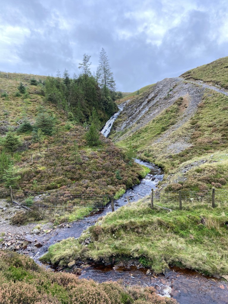
In fact water pouring off the hill to join the Nant Ddu was a textbook example of how rivers grow. It looked as though a pine tree had been ripped from the ground by floodwater some time in the past and carried over the waterfall. Or perhaps it had been felled in Storm Agnes.

It is hard to see how mudstone can create such huge hills when it is so liable to collapsing into shards. I had to watch my step climbing out of the ravine on the unstable path.
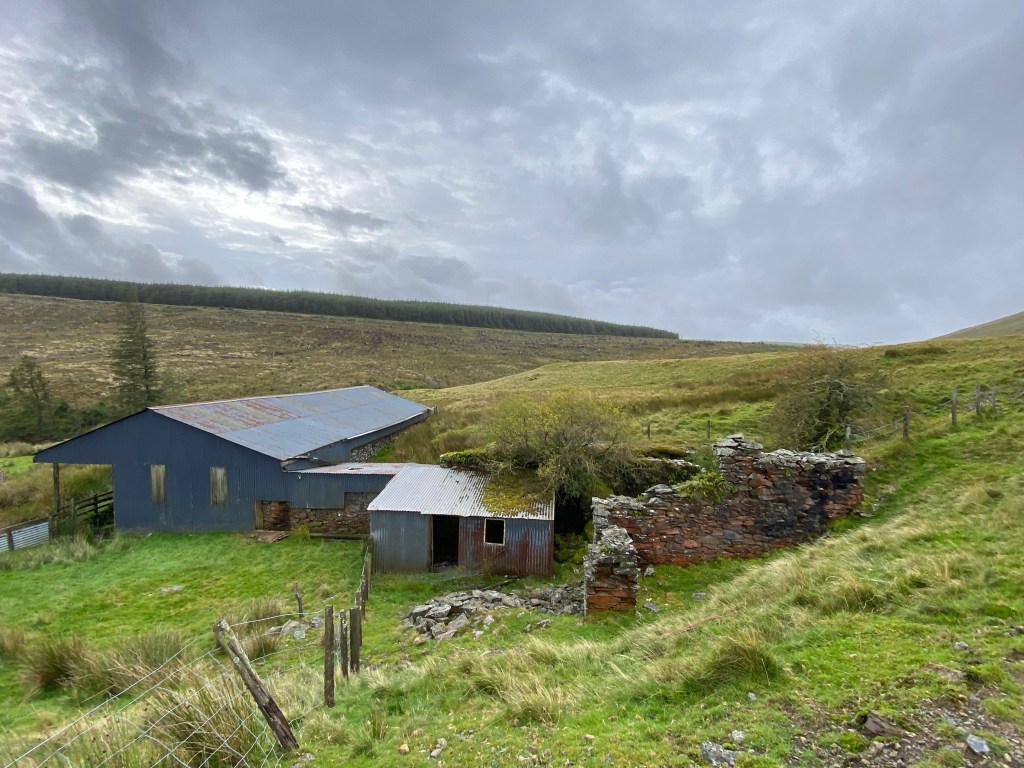
At the top was a collection of farm buildings recording different phases of construction over decades of upland sheep farming on this remote spot.
I marched past them, though, eager to reach Glaslyn, the blue lake. I followed where two red kites led, up the track and past the descent off Pumlumon down which I would have come with my tent on my back: I had now rejoined my original path. Suddenly coming over the edge of the hill there it was — the lake reflecting a flat grey sky today rather than blue, with Cadair Idris visible as a faint shadowy presence in the far distance.
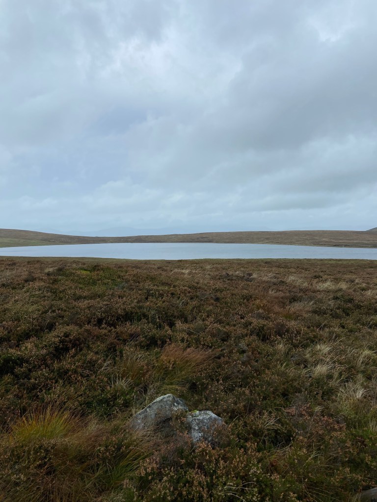
The lake is a nature reserve, although one with not very much nature, as an information board admits. The lake is acidic and the nutrient levels are too low to support much life. Only one water plant grows in it: quillwort. The heather moorland surrounding it, though, is being restored for the benefit of red grouse, wheatear and ring ouzel, and the plateau bogs are a habitat in themselves, their carnivorous plants nowhere in evidence that I could see. Perhaps up this high the season is quite short for butterworts and sundews and they were already dormant.
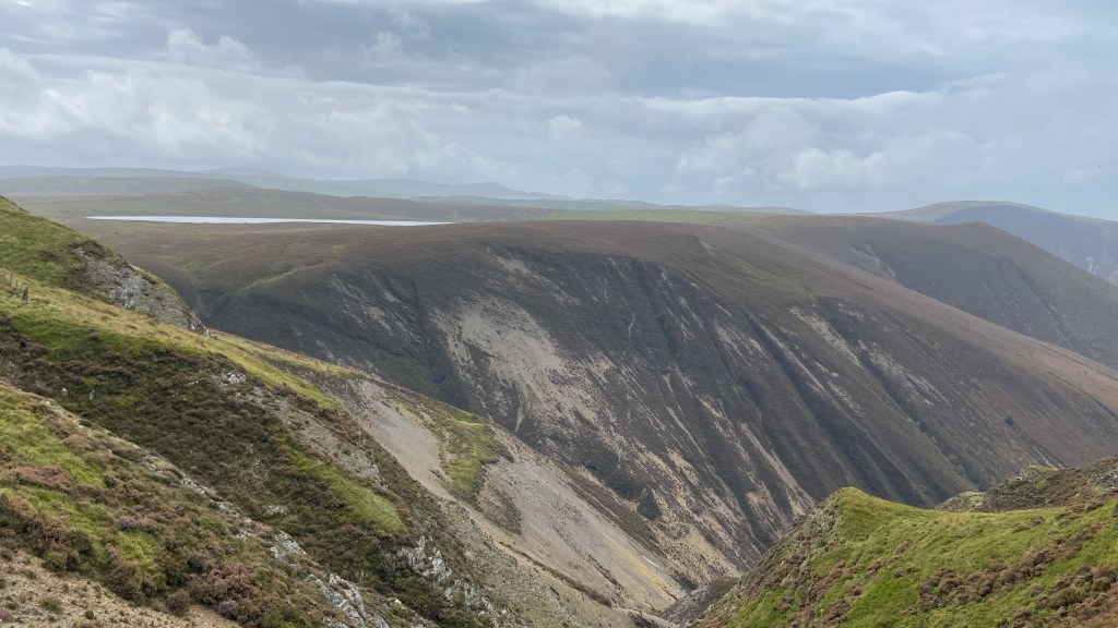
The lake lies at the top of a titanic ravine which was not be not only the grand finale of today, but also at just over 500m the literal and figurative high point of the whole walk from home to the sea. The action of rain washing down the Glyndŵr Way path up to the ridge had foreshadowed the ravine in miniature.

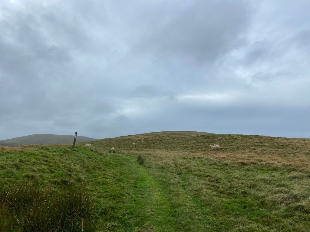
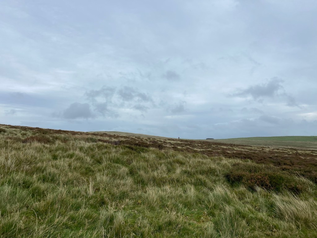
Here, on the top, I paused for breath. In one direction there was just the wide expanse of the moors, and a single solitary walker way away, the only other person I saw up on the hills all day.
But in the other direction — it was breathtaking.
I stood at the high point of my route (chapeau!) and just gazed at the plunging, water-gouged ravines, scree slopes so steep that virtually no plants or wildlife could cling on to stabilise the rock and begin the process of soil creation. It was a harsh, brutal and extraordinarily impactful sight, made all the more powerful by the fact that I was alone in this mighty space with just the wind and the air and the sunlight almost but never quite breaking through the clouds. I will not soon forget the scope of it.
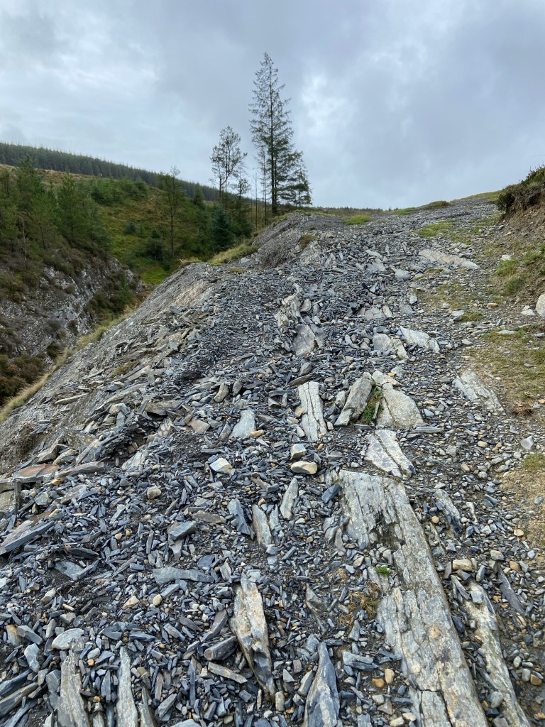
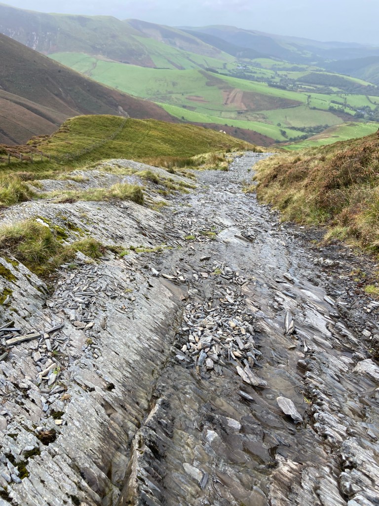
The descent down is a bridleway and I think a mountain bike route – but coming up this way on a bike looked like it would be hell, and going down would be suicidal: it was a deep mulch of mudstone shards, just as unstable surely as the slopes of the ravine. My feet were sinking down into it and the shards made a clinking noise as the shock of my footfalls travelled through them.

The view was extraordinary, and I had to go slowly not only to avoid my feet sliding out from beneath me but also to be able to look at the landscape: green valleys and thickly-wooded river courses, stretching as far as the eye could see.
I lost height rapidly, moving from scree to grass, and although it was steep there were zig-zags to lessen the precipitousness. I almost wished I was on a bike so that I could swoop from side to side down the broad hogsback of the hill between the two streams flowing out of their respective gorges.

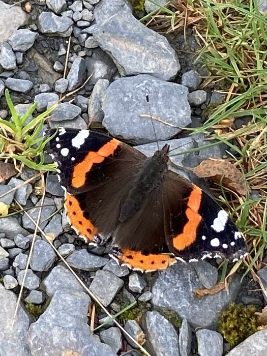
The character of the path changed rapidly with the drop in height, and after a day of being up in the severe beauty of the high hills, there was a richness and diversity of flora and fauna everywhere I looked, from tiny funghi growing on rotting twigs, to a cascade of crabapples from last night’s storm, from the turning oak leaves to the many red admirals making the best of the fitful sunny moments.

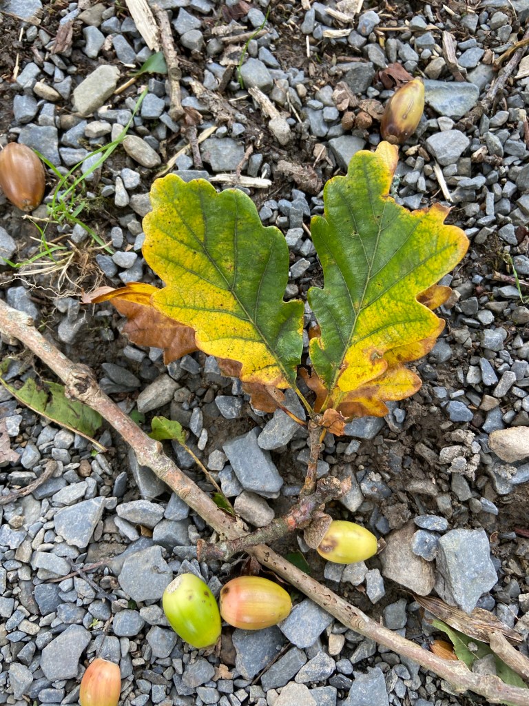
I reached the road — and that was it for the footpath and track for the day. This was the really swift section though, despite crunching over the twigs and acorns strewn all over the road, the debris from Storm Agnes. The exhilaration and deep contentment I felt at having travelled up and over the mountains stayed with me.
Now there followed a couple of hours of road walking, through farms peaceful enough to have geese and hens foraging in the roadway.
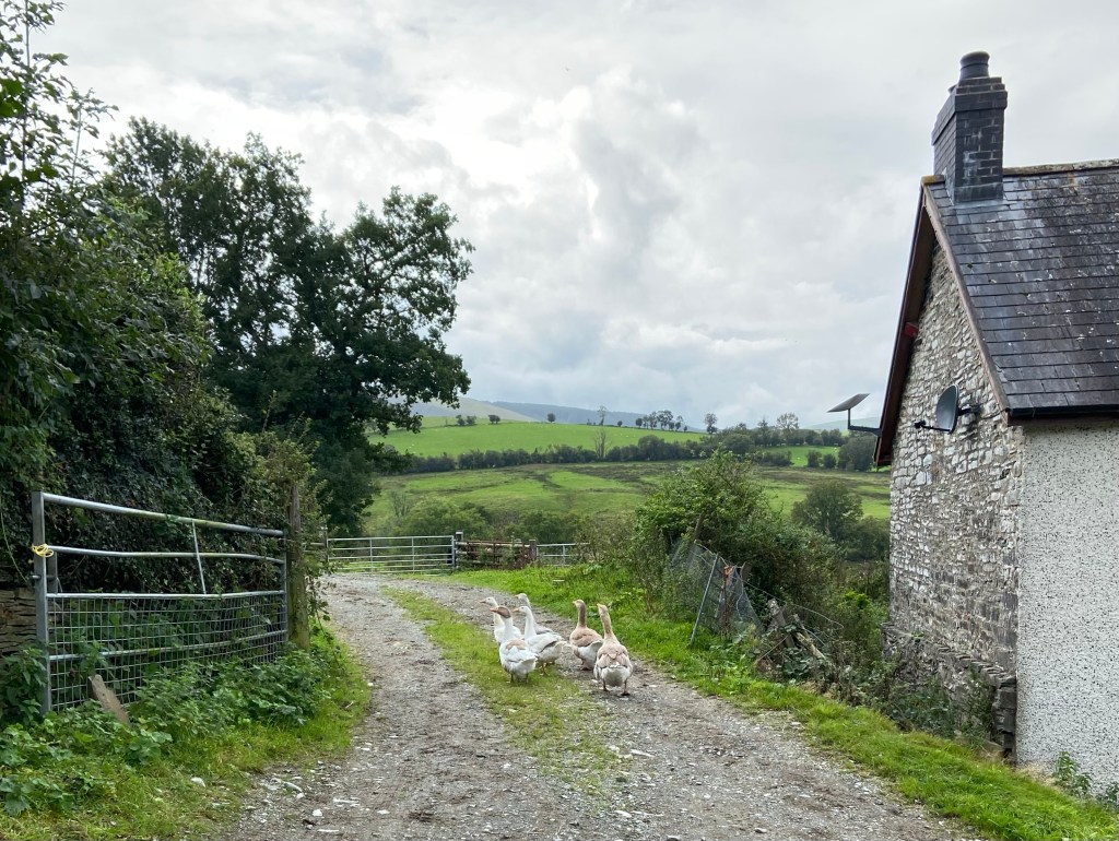
One farm struck me as having a perfect combination of traditional buildings: a pigsty (now used as a kennel), a stable, a hayloft and an old cowbyre, essentially a simple, diversified smallholding, completely without the visible trappings of modern mechanical farming. There was not enough here to support a family and was probably no longer a working farm.

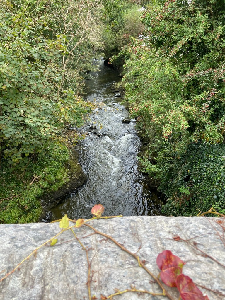
At Forge the road crossed the river Dulas, and I looked over the bridge parapet to watch the flowing water in its ceaseless work of smoothing out its grey mudstone riverbed.
I sat on a stone (it’s difficult to find places to take the weight off my feet, and this was the first time in nearly twelve miles that I had found a place to rest) and checked the directions to tonight’s AirBnB. To my dismay it was a mile and a half out of town (I had hoped to have supper in a pub) and the turning to reach it, to avoid two sides of a triangle and a nasty bit of A-road, was a way back up the hill.
I was a bit too tired to think straight but I decided that I could avoid having to go along the A-road twice by descending into Machynlleth and re-energising myself with a very early 3pm supper and then walking out to the B&B, or perhaps getting a bus for a stop or two. That was the plan.

But my host Carys very kindly offered to come and pick me up, and so after walking into town I fell into the Red Lion for a luxurious bowl of teriyaki salmon and noodles, and then travelled to my farm stay in style, still processing what felt like a momentous experience — having walked right over the mountains.
Tomorrow I reach the sea.

Wonderful, wonderful. It quite filled me up looking at the views, you lucky thing. Enjoy the sea when you get there!
LikeLiked by 1 person
Thank you, Jane! I will xxx
LikeLike
Seriously amazing views!!! 👏👏😍
LikeLike
I think this bit is my favourite bit from all your walks!
LikeLiked by 1 person
😮 oh Amanda! I’m speechless
LikeLike