She’ll be coming round the mountain when she comes
Traditional
I was up and about de bonne heure after an excellent night’s sleep. There was a single morning star – Jupiter – shining above a bank of dove grey cloud.

Because I didn’t have to rush to meet anyone or catch a lift, I could take my time and think properly about how to dry and pack the tent. The sun coming up generated a light breeze which helped to dry the condensation off the fly sheet once I had wiped the raindrops off. I was able to wash my hair, pack and stretch properly, and enjoy my breakfast cinnamon swirl and the remains of the hummus which was the last of the very poor fare offered by the Spar in Trearddur Bay. This was literally the best they had to offer – in order from the left: supper, breakfast, and walking snacks, although I knew there was a café at South Stack, on this side of Holyhead Mountain.

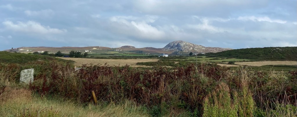
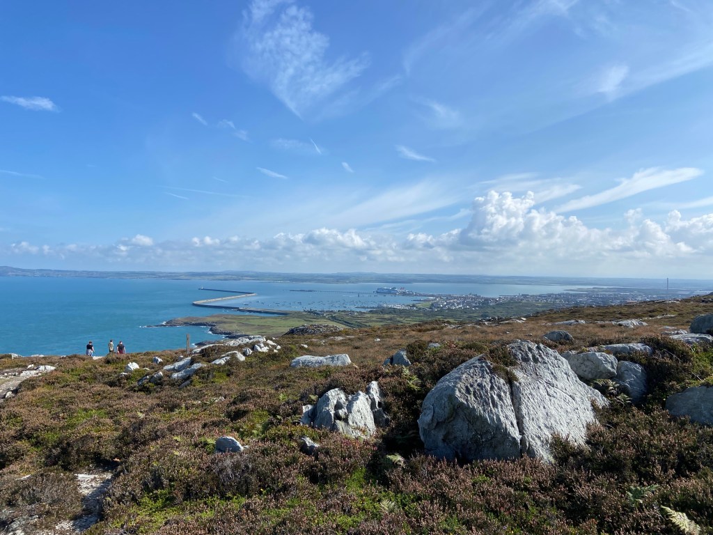
I was surprised to find the highest point of Holyhead Mountain looking so close. Porth Dafarch, although seemingly not far from Trearddur Bay yesterday, is in fact a good bit of distance further north. A very short section of road took me out onto the National Trust heathland, Penrhosfeilw Common, also called The Range. It is grazed by a flock of 200 Hebridean sheep. I think I was right to have identified the silver-studded blue butterfly in the dunes south of Rhosneigr, as they are a characteristic species on this corner of the island, and I must search for spathulate fleawort; this heath is its only home in the world. Choughs, one of the UK’s rarest birds, also call this heath a home, and as I walked out into the headland I could hear corvid calls which I hoped boded well.
Rejoining the coastal path, I was greeted by the extraordinary sight of an enormous flock of sea birds of various kinds wheeling and diving above a baitball of fish feeding where the water was smashed into boiling white surf around a skerrie. I was some distance away, and furious with myself once again that I hadn’t thought fit to bring binoculars. But I could see some of the larger white birds plummeting into the waves to seize fish and they were raising a visible splash even from this distance, so I assumed they were gannets. I watched the sight for ages, looking for the dark shapes in the water of marine mammals, perhaps the porpoises that I have seen off the headland at Bull Bay, but there was nothing. However, just before I moved off, two very distinctive and recognisable calls signalled the arrival of a pair of choughs who descended to the cliffs below me. Result!

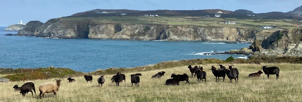
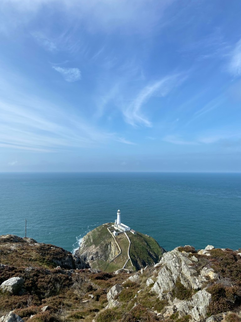
The range gave way to the South Stack nature reserve, an RSPB haven for birdlife. Of landbirds there were only swallows (hanging on into this Indian summer), and larks. Rounding the headland I had my first view of South Stack’s impressive lighthous, gleaming white in the Sun, and Elin’s Tower, the RSPB Visitor Centre where I could take my early lunch café stop.

A pair of wheatears tag-teamed down fence posts in front of me, and then another pair of choughs obligingly put in an appearance, and then, oh my gosh, six or eight all together in the next field across, feeding on the ground. I could hear the distinctive crack of a stonechat’s call – one of the most numerous birds around here – as I crossed through a thicket of brambles and gorse into a field where the Hebridian sheep were thinking about doing a day’s work out on the range.
The choughs’ growing population is supported by the RSBP with their heathland management – burning sections of heath to encourage regrowth of gorse and heather. They burn rectangular patches in the winter,
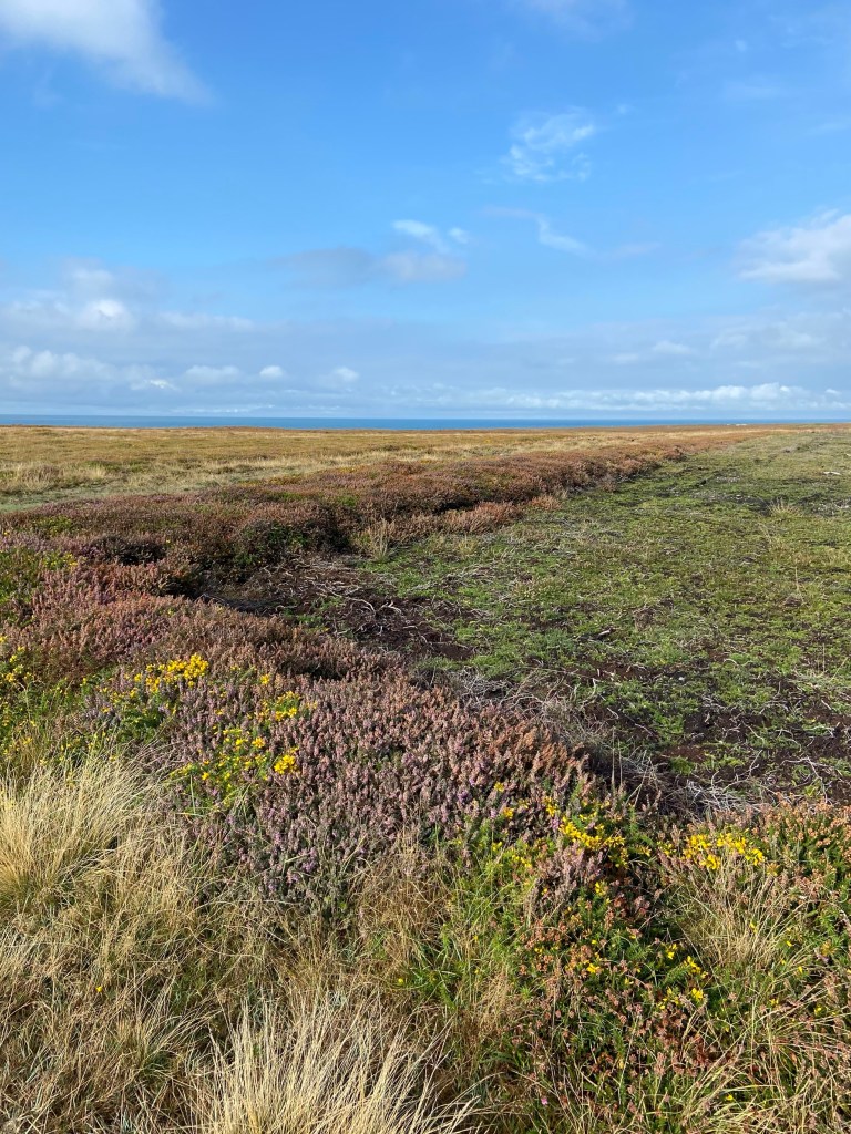
and I could see that the regenerated sections were fresh and succulent and excellent environments for invertebrates like flies. The grazing of sheep not only has the same effect, but their droppings also attract dung beetles which are a key food source for choughs, and especially for their chicks in the spring. By contrast, the overgrown patches looked not nearly as rich.

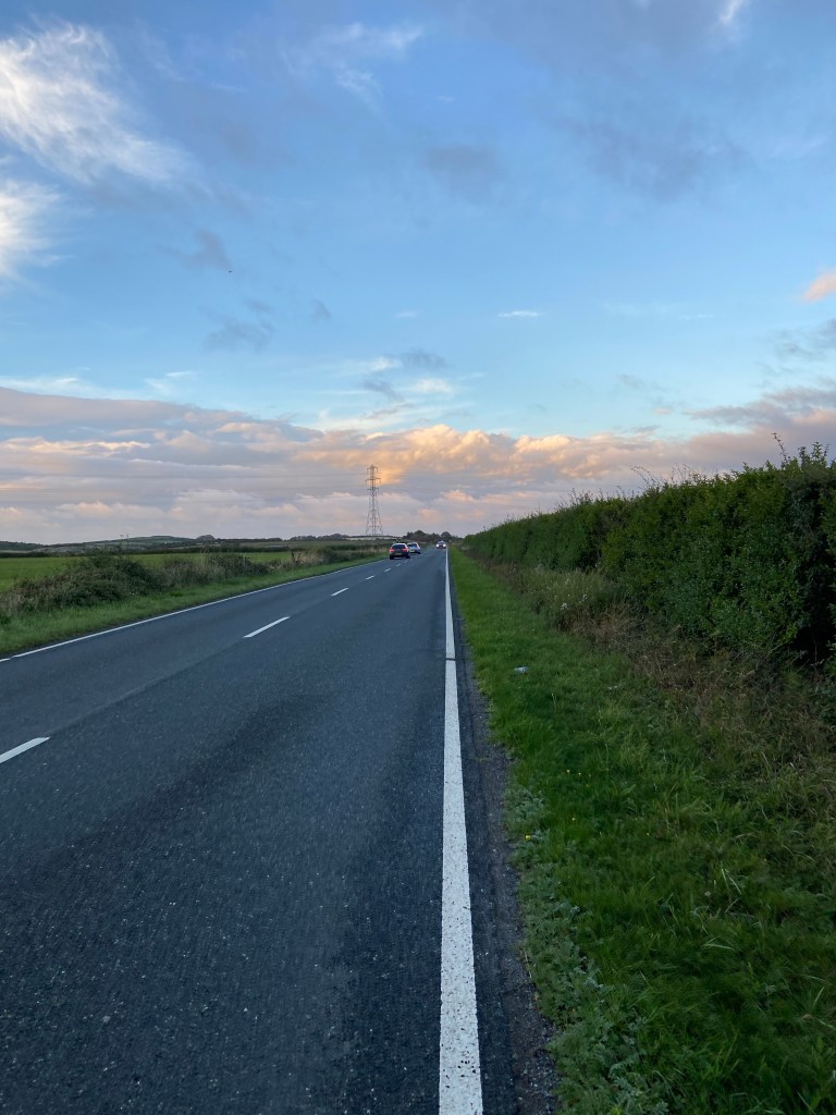
Up on the hill I had to climb to get to the café were roadworks. I know what these are after talking to the duct-laying crew near my campsite yesterday- they’re the infrastructure for the enormous Morlais project, a tidal flow renewable energy scheme in development off the west coast of Anglesey, where tides can reach 7 knots.
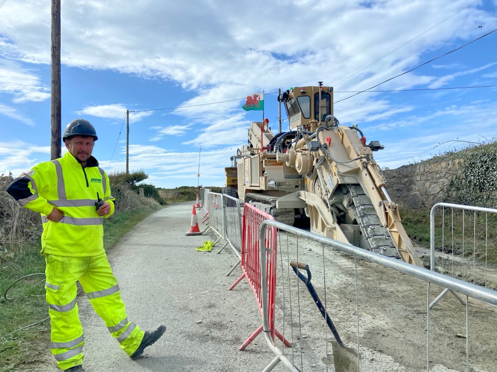
As I was dragging myself up the hill to the café, supplying my own energy, one of the people I talked to delivered the bad news that both the bird-watching tower and the café were closed today as a mark of respect to the Queen – understandable but a little disheartening to a hungry walker. I took a detour off the path to visit the stone huts built two and a half thousand years ago by the farming community here who grew wheat, barley and oats in the surrounding fields as well as raising livestock and gathering food from the shore and from the sea. The low stone circles were originally thatched and the stone seats, storage pits and basins built into the walls still survive in some houses. The archeology indicates that people lived here for a thousand years.

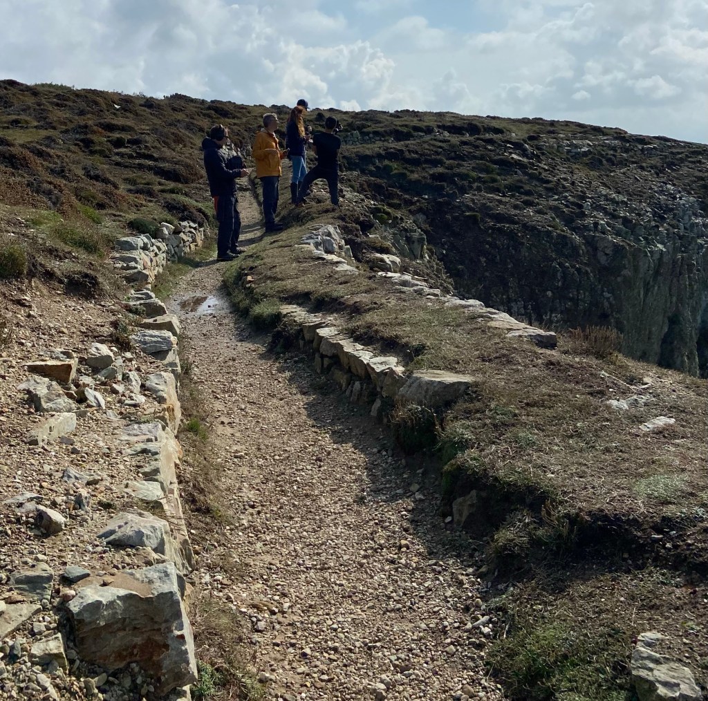
A TV crew were interviewing on the vertiginous edge of South Stack cliffs, a noted climbing spot. I could barely look over the edge. One of the crew told me they were filming a new adventure holiday series – I imagine an episode about rock climbing. Walking the coastal path is quite adventurous enough for me!
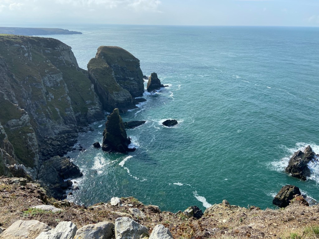
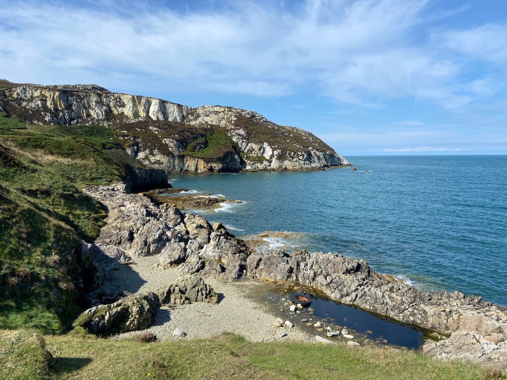
So far this was an area I know well, but I have not been beyond where the steps descend to the Lighthouse. The path climbs up steep rocky steps to a viewing platform giving absolutely spectacular views out over the sea.
Behind me I could see all the way I’d come yesterday, nearly 9km as the crow flies (but more than a day’s walk) to the National Coastwatch Institution’s Rhoscolyn Watch Station, where Wes had just been arriving for his duty yesterday morning.
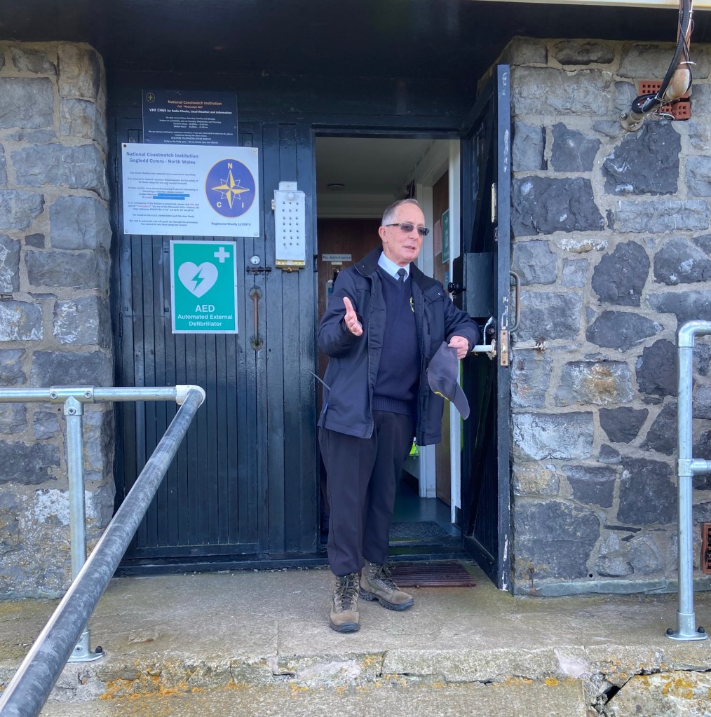
He explained to me and my brother, walking with me a little way, that watching is a dedicated and single-focused business: you can’t listen to music or read or do the crossword. You can never let your concentration slip. The NCI don’t lookout for ships and boats in trouble (that’s His Majesty’s Coastguard’s job), rather they watch unwaveringly for people getting into trouble in the water or on cliff edges. And they can see for miles and miles and miles up and down the coast.
From this high point, the day started to go literally and figuratively downhill. An interpretation board informed me that it was a 40 minute walk to the country park on the other side of Holyhead mountain. This, I thought, boded well, as the path must not be as arduous as I had been anticipating. However very quickly the path, although clear, deteriorated in quality and looking ahead I didn’t see how it could cross the narrow space between plunging cliffs and rising mountain without being quite terrifying. There was one section which traversed a steep slab of rock, which I negotiated very slowly with some trepidation and a great deal of care.
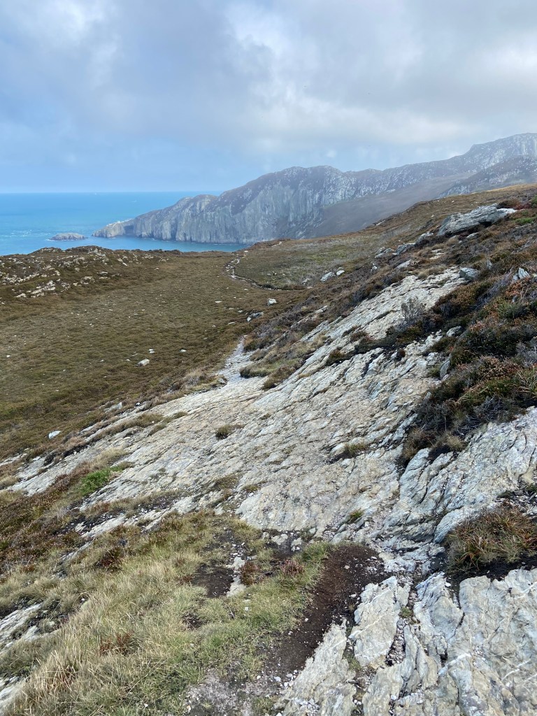
This surely could not be the path that was recommended to day walkers. I checked my position on the OS map, and sure enough, I had strayed off the Coastal Path. That was somewhere above me. So I climbed straight up through mercifully short heather and gorse until I regained what was a motorway in comparison to the path I had been following.
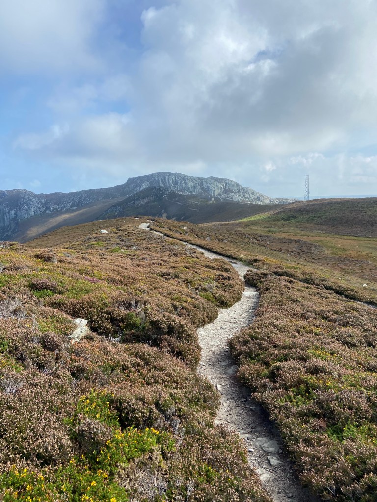
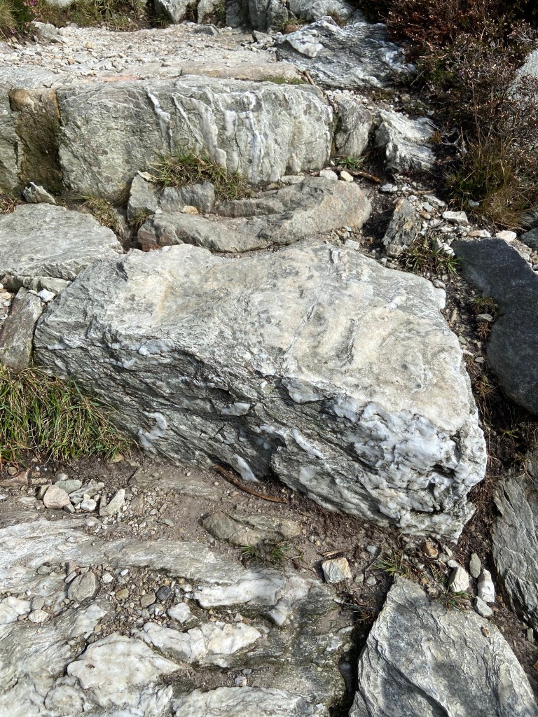
The route over the shoulders of the mountain was quite clear. First, a giant-sized staircase of enormous blocks of grey rock, thickly veined with glittering white quartzite. The risers were quite a trial for my right knee but I tried to exercise it as much as the left, by leading with it and supporting myself with my poles.
I then made the judgement call to walk in a straight line instead of the Coastal Path, which traces three sides of the square to follow the cliff edges, as I felt I really needed to get off the hill as soon as I could. It felt like a bit of a copout. I don’t think this path was necessarily any easier than the one I would have taken, as it was awkwardly steep in places; I experimented turning my feet sideways first one way and then the other as I placed them as I found I couldn’t comfortably descend with my right knee facing straight forward. One section I negotiated backwards! The views of Holyhead in front of me, the huge marinas and the ferry terminal for Ireland, was such a contrast to the wild slopes of the mountain I was on.
The country park, when I reached it, was a marvellous relief: flat green sward and interesting rocks that I didn’t have to clamber over.
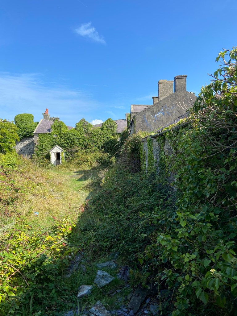
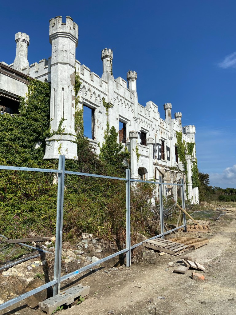
The Coastal Path makes its way into Holyhead past two spectacularly derelict houses. The first is a castle and the second kind of 19th-century brutalist mansion. One would have thought that they were prime real estate ripe for redevelopment, but instead they are sad relics, increasingly covered with creepers, brambles and graffiti.
By contrast was Caer Gybi, the Roman castle after which Holyhead is known in Welsh and in which lies the church of St Cybi

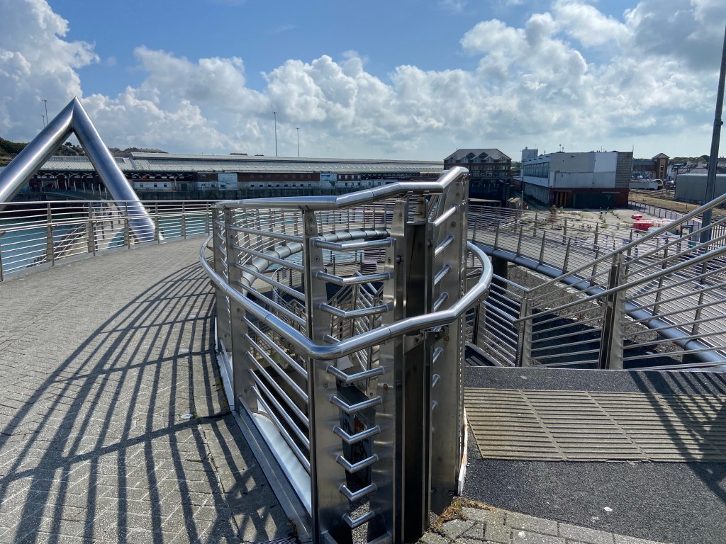
and which, it turns out, is the official start of the Anglesey Coastal Path! I’ve walked for five days to get to the start of the walk!

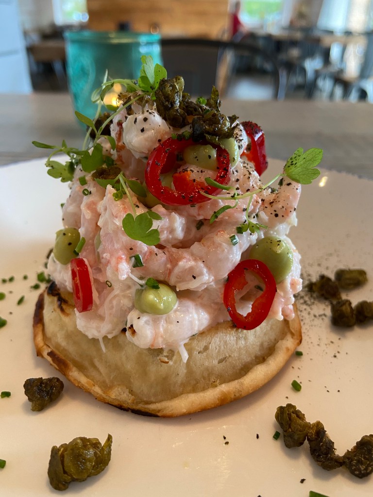
It was now getting on for half past one, and I was really hungry and a bit concerned about being able to find food and charge my dwindling phone battery. The first place I tried was about to close, but Pete the Druid in his burger van made me an absolutely stonking burger with fried egg and onions and I ate it in the sun looking out over the marina.

No charge for the phone, though. I walked on over the sweeping curves of the Celtic Bridge,
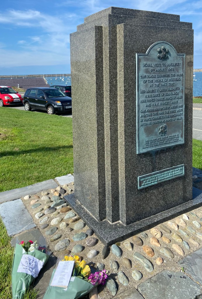
through the station and out the other side to the ferry terminal. Everywhere I looked there were civic and personal reminders of the Queen. The RNLI flag flying at half mast, the trees planted by the crew here for Elizabeth’s jubilee last year, post boxes, the road named after the erstwhile Prince of Wales, and the inscription on a monument to record the local people’s pride in a visit to Anglesey of Elizabeth and her family, being the first place in Wales after Charles’s investiture as Prince of Wales.
On out of Holyhead, taking a shortcut to miss out the docks because I needed badly to charge the phone now, in and out round the headland of the Penrhos country Park. On an otherwise deserted beach I met – and this should not have come as a surprise because of Pete the Druid – a hedge witch.

I know she was a hedge witch because she gave me her card. She is also a professional forager and very active on instagram. She kindly recommended the Toll House café at the far end of the park, so I walked as quickly as I could past a terrifying pet cemetery in a gloomy sycamore wood (absolutely no photos of that as way too scary to want to remember) and down the Beddmanarch Bay which forms the northern end of the Cymyran Straits. I stopped briefly to appreciate the views painted by wildlife artist Charles Tunnicliffe,

but hastened on – to find the café closed.
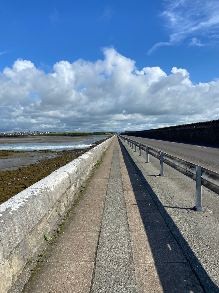
There was nothing for it but to press on over the massive – 1.2km – Stanley Embankment which (although I didn’t care about it at the time because tired, footsore and worried about battery) was designed by (drumroll which will be appreciated by readers of the End-to-End blog) THOMAS TELFORD, Telford, for it is ubiquitously he, oversaw the construction which used tonnes of rock and sand for cement, excavated on the Anglesey side. The workers lived in this shallow quarry during the building works and their little collection of houses became a permanent settlement: The Valley, Y Fali.
I crossed the bridge heading for a plugpoint in the Catch 22 Brasserie. Attentive readers will have noticed that I was practically back at the point where I crossed the Straits on the old stone Four Mile Bridge which took me onto Holy Island. I was a kilometre away, in fact, from where I’d seen the group honing their river rescue technique. Whilst I mused on that fact I got to the brasserie doors to find it closed until 5pm – so I repaired to the Bull Inn opposite to charge the phone (yesssssss) and have a half of Amstell, and just sit for an hour.
The Brasserie, when it opened, was just delightful. I felt bathed in luxury and spent a couple of hours writing the blog although they couldn’t give me a table with a plug.
But I needed to get to the campsite. It was a way still down the road… nothing for it but to get the boots on.
I was cross because this campsite was so far off the route and because it had charged me up front thirty quid for a single pitch for one night (going rate here is a tenner). Robbers! They’d been spending their ill-gotten gains on a fancy-pants new toilet block, all mouth and no trousers because although it looked like a swanky hotel (this is camping, people)
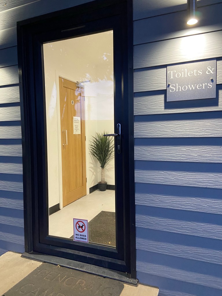
the showers were too dirty to use and the basins were poorly designed so that the surfaces were covered in water so you couldn’t put anything down. Dispiriting. And expensive. And I couldn’t even charge my phone. The site was full of noisy people with even noisier excessively yapping dogs, and the site owner was doing the rounds on a quad bike delivering bags of wood to put into their braziers (tents! Sparks! 😱).
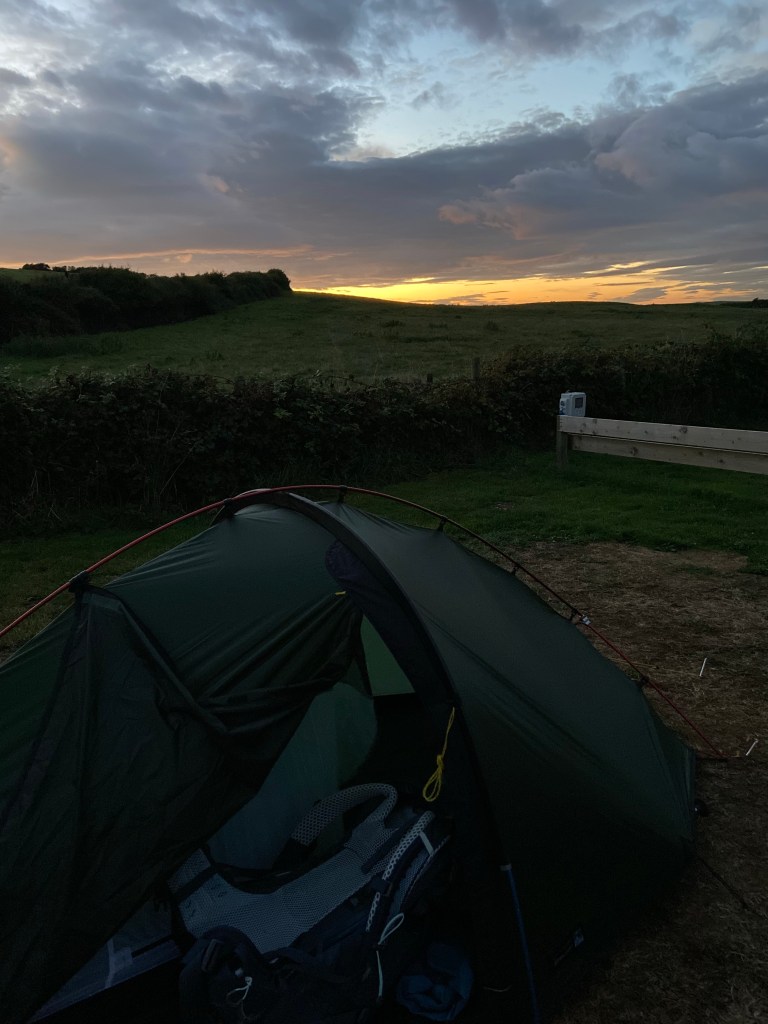
I put the tent up in the last of the light and crawled into bed, exhausted, knee aching, having Existential Thoughts. Tomorrow is a shorter as well as another day.
Video of today’s route

Thoroughly enjoy reading about your hike! The photos are stunning. I’m not a hiker but this has inspired me.
LikeLiked by 1 person
Lots of highs & lows there Sophie! The coast & adjoining fields look lovely, but the campsite sounds hideous! Imagine if you’d booked there for a week 😱. Fab to see choughs! I’m feeling very lazy for enjoying your adventure without the hard graft! X
LikeLiked by 1 person
Haha Niki. You’d like the place I am staying at tonight though. And the lovely Church Bay site.
LikeLike