Dilynen adartiau gwyn y gwylain
‘We follow the restless seagulls’ white darts’ from ‘Glas, by Bryan Martin Davies
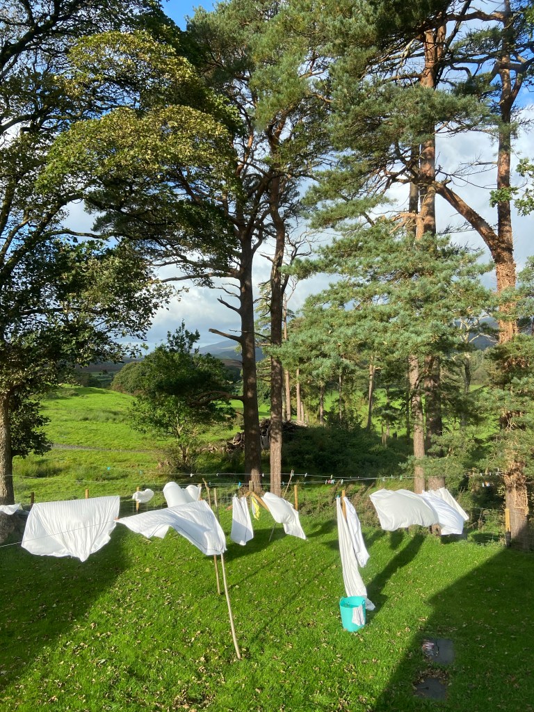
Carys had told me last night that today was to be a drying day for her washing, and sure enough, when I swung open the curtains today the wind and the sun were vying to see which could get her laundry dry first. Carys had very kindly upgraded to me last night to a king-size room with an ensuite bathroom, which meant that I could just lie and rest after what was in effect a long mountain day, although my body didn’t seem to feel too tired.
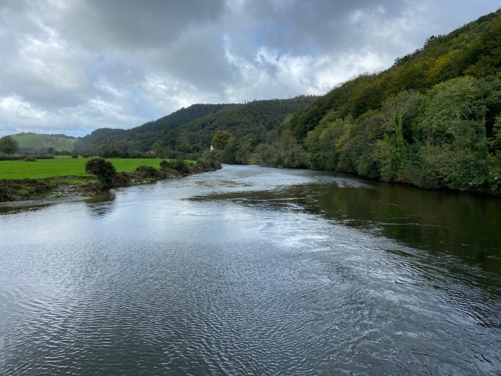
I slept well, but not for very long, which perhaps accounted for the way in which I did not quite feel ‘in’ my body this morning as I set off down the cycle path alongside the A-road between Machynlleth and Newtown, crossing the river Dulas, at the point at which it swelled the waters of the river Dyfi on its way to the sea.
Machynlleth, known affectionately locally as ‘Mach’, was the seat of Owain Glendŵr’s parliament in 1404 so it felt as though I had completed some kind of pilgrimage coming into the town along so much of the trail named after him. The parliament building is visitable, but was closed when I went by. It was near here where Glyndŵr was crowned Prince of Wales, in a ceremony attended by international leaders.
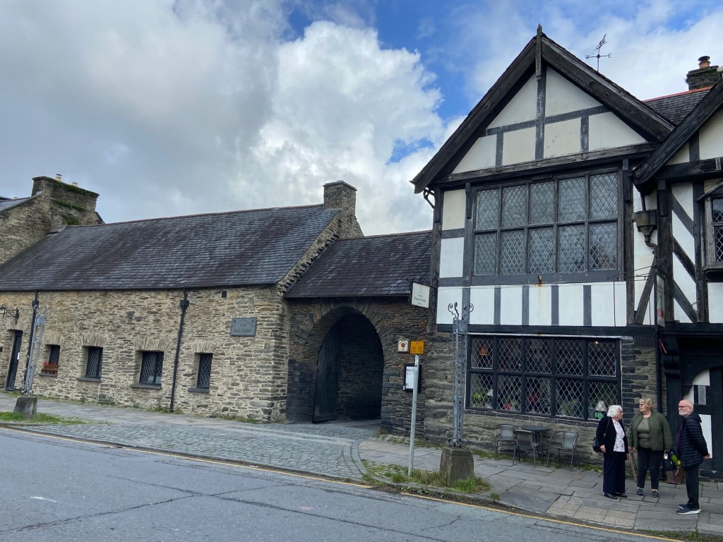
As far as the walking was concerned is fair to say that Glyndŵr’s Way proper is a pretty brutal route, and I’m glad I chopped it so savagely. There is a good deal of pointless hillclimbing. Anyway, contemporary Mach is characterised by its association with the famous Centre for Alternative Technology, technology which seems not so much treehugging now as it did in the 1970s when it was set up, but more visionary. Mach sits on the border between the counties of Powys and Gwynedd which runs along the line of the river Dyfi, and it was here that I crossed over into my third county, having walked through Herefordshire and Powys.
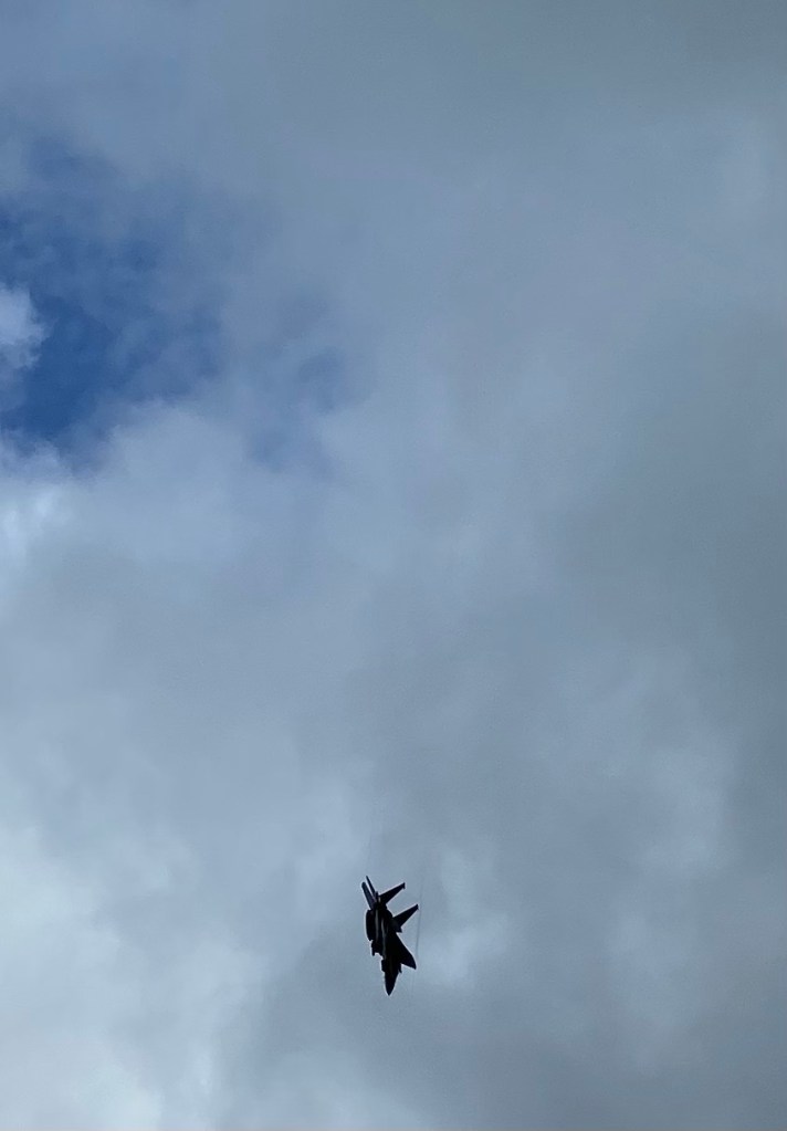
The road out of Mach was being restructured to create flood defences and a new road leading to an ‘eco-park’, a new centre for sustainability-focused businesses and organisations. It is a shame that in order to build the infrastructure thousands of tons of concrete are needed. As I picked my way through the roadworks a shatteringly loud pair of fighter jets roared overhead. The noise was quite shocking, and shook me to my bones. I remember having been excited by the jets over Anglesey; I am just too tired today to cope.
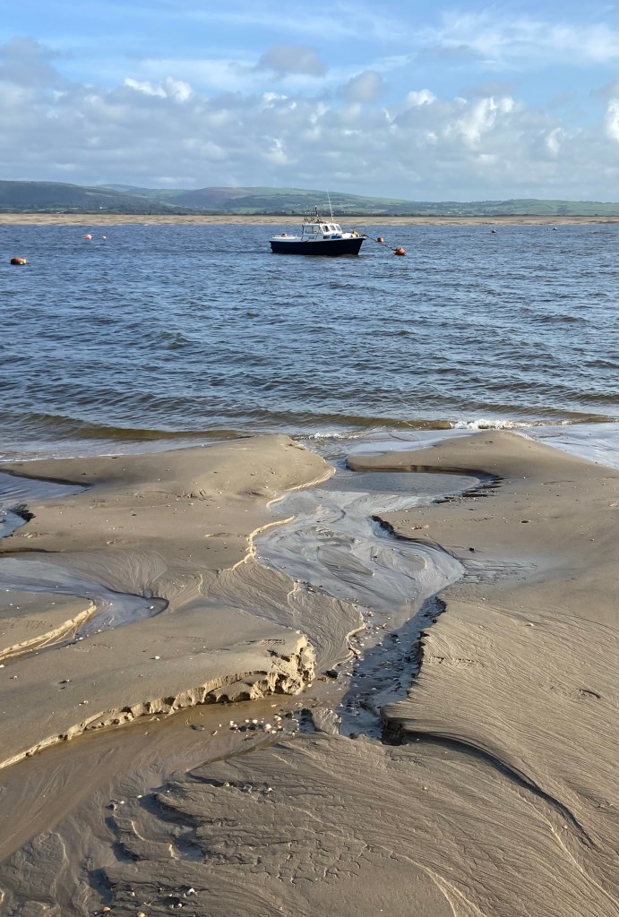
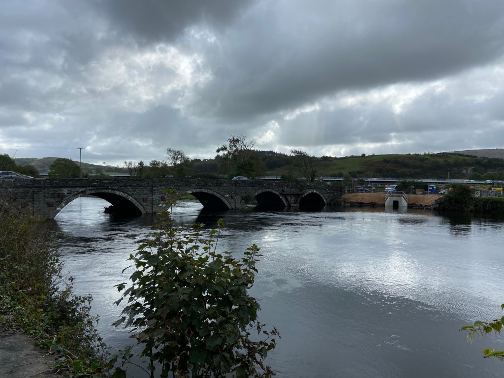
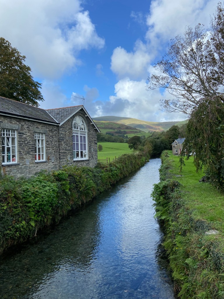
I crossed the Dyfi at the Grade II listed bridge which has only just been opened after a huge flood closed it. There were pumps everywhere still sucking water off the land and the little cottages on the other side of the bridge looked miserably damp, as though they had been inundated too.
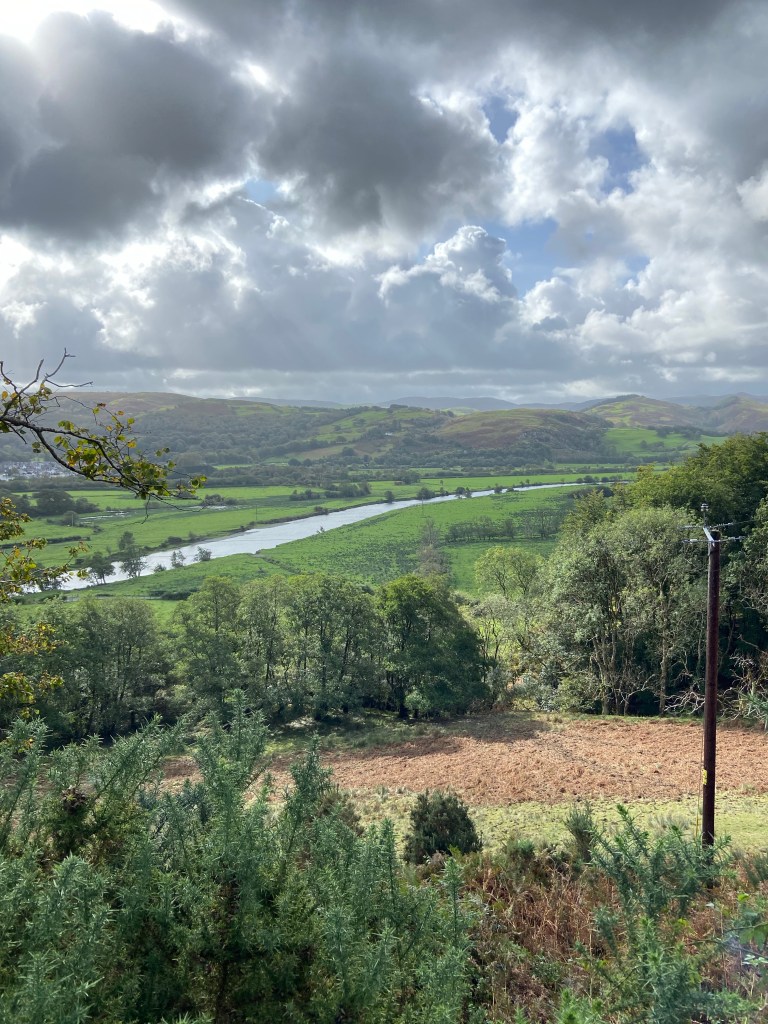
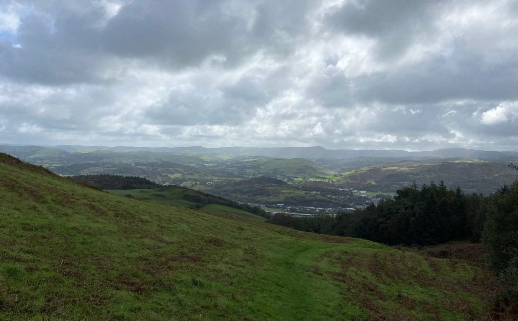
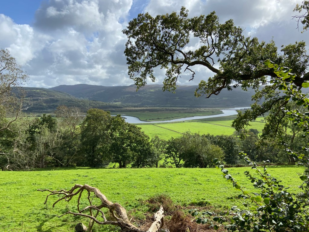
The whole valley was full of noise — jet planes, water pumps, road crews, cars and vans. I was so grateful to turn off the main road and up a peaceful lane so steep that there was a triangular warning sign forbidding vehicles turning round. Every now and then I had to stop and catch my breath, looking back down into the valley and marvelling how quickly I was rising above the meandering course of the Dyfi down towards the sea.
On one gatepost, I was surprised to see a familiar walking sign: the coiled shell of the Wales Coast Path. Carys had mentioned the ‘coastal path’ this morning, but I just thought she was talking about a local off-road route to the sea. But no, it turns out this is quite a significant inland detour for those on the long distance path trying to cross the river Dyfi. Just think what a downer: it is a two day walk to get back to the sea.

I kept telling myself that the climb would end, although it wasn’t over yet when the coastal path turned off the road, and up a seemingly endless field, grass still beaded with all the recent rain.

I stopped frequently to let my heart calm down (I must be so much more healthier than I was after walking to Cambridge, but I wasn’t feeling it now!) and turned around to drink in the massive panorama that had opened up behind me as I climbed. I could see the mountains over which I had followed Glyndŵr’s dragon signs, and now I was following the sound of the seashell to the shore.
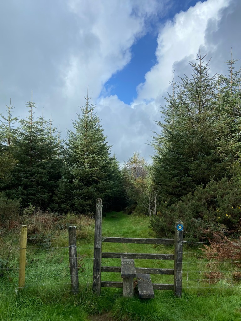
At the very top the path led into a forest and tracked west for three and a half kilometres. Before climbing over the stile I perched to rest a moment on it, because if there’s anything I have learnt about these long distance walks, it is that you should never look a gift seat in the mouth.
Then I let the trees swallow me up.
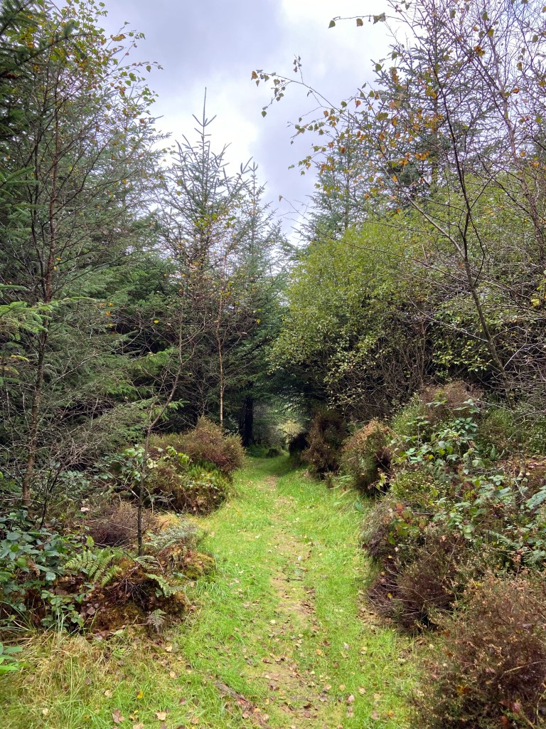
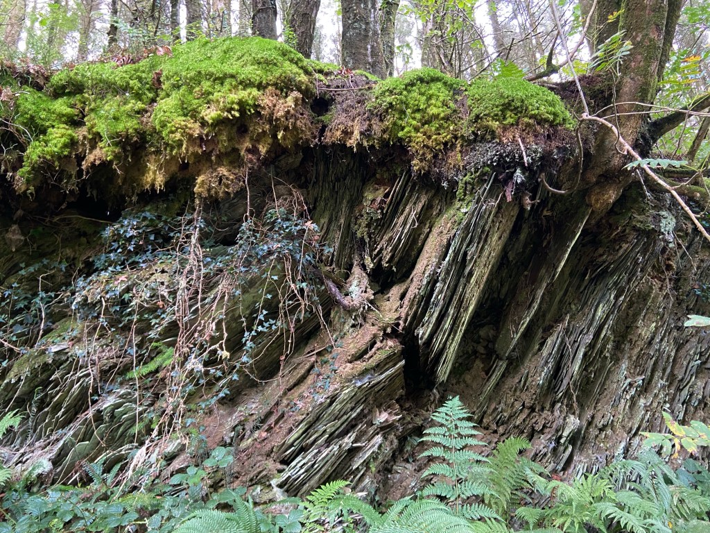
I love these damp forests: the secret mossy banks, where ferns and saplings can take root, the sudden views out through clearings into sunlit fields, or giving distant views of further reaches of forest. I love the birdsong, and the funghi, and the rock exposures. A pair of bullfinches crossed my path, as a carrion crow called a warning from somewhere deep in the trees.
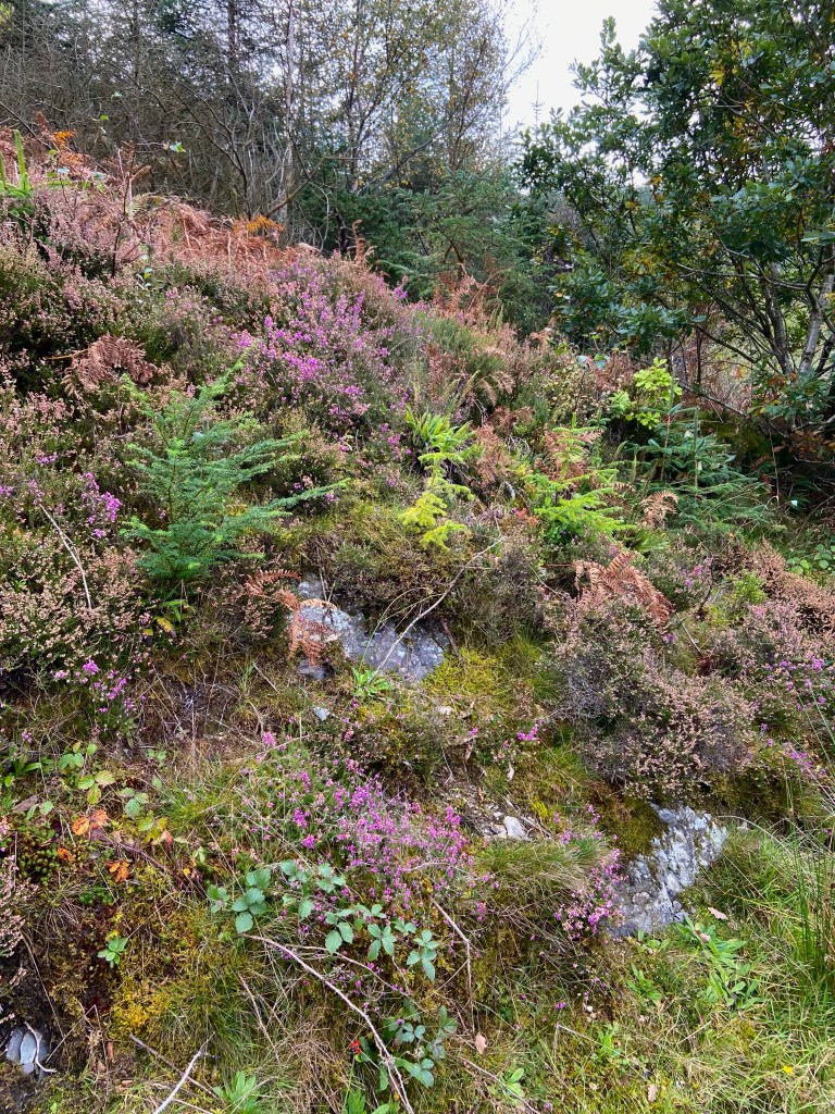


The narrow path initially shuddered down a vertiginous slope, softened by the rain, covered in leaf debris from the storm and with loose stones. I went very, very gingerly.

At the bottom, it joined the forestry track and I motored along it for the next 45 minutes. Storm water had flowed down the track and left traces of its waves and rivulets in the pine needles, a coastal path foretaste of the sea.

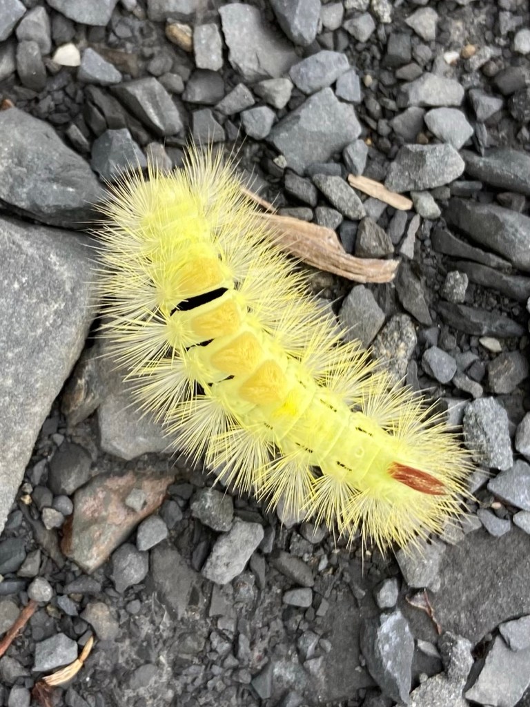
By a perilous overhang I spotted a bright yellow caterpillar: the ‘hop dog’ which will emerge from its pupa in the spring as a pale tussock moth. Its striking hairs are a warning to potential predators that they will cause a nasty rash.
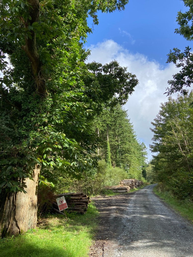
Forestry operations were only evident at the eastern edge of the forest, in stacks of wood ready for transport. The entrance to the forest was marked by a colossal sweet chestnut tree.
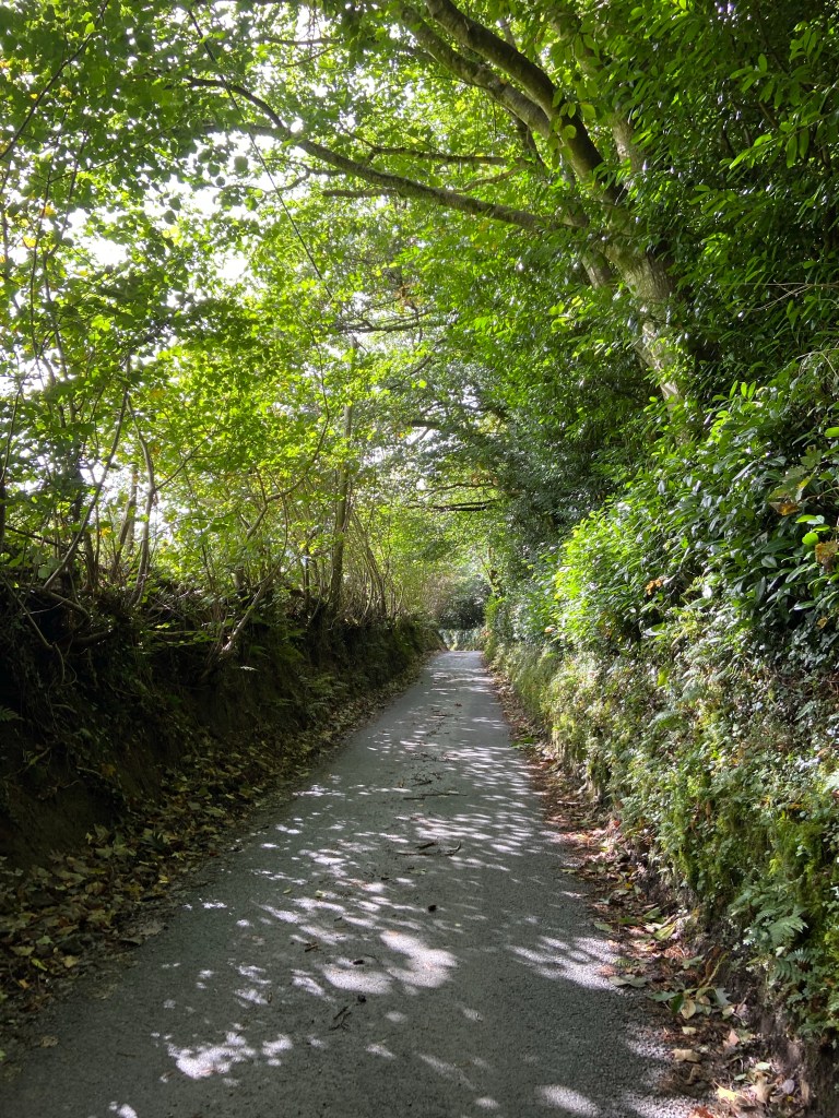
I descended to the village of Pennal by a long, steep sunken lane up which sweated a cyclist who called to me that he couldn’t wait for the descent on the return leg. Self-inflicted, I thought to myself, aware that I was a pot calling the kettle black.
Pennal has a history of winning Best Kept Village awards. There was clearly an immense amount of pride in keeping the village looking spruce and I was so distracted by its picturesque delights that I took the wrong track out of the village and had to retrace my steps when I realised.


The correct track climbed into a kind of mini country park with broad manicured rides.

I photographed an extraordinary creature which looked like a cross between a mayfly and a dragonfly. Research revealed it to be a kind of ichneumon wasp: a parasitoid wasp which lays its eggs in the larvae of other insects, eventually killing them. It’s a huge group of insects: in the UK alone there are 2,500 species — this one is an Ephialtes manifestator, characterised in the females by stupendously long ovipositors which they use to probe deep into the nests of solitary bees.
The paths through the mini park were designed to maximise the enjoyment of views out over the Dyfi valley with picnic tables and seats.

I was rather disturbed that I still had about three hours to go, however, and didn’t feel I had time to sit and stare; I stared instead as I walked.
The staring paid off: as I emerged from the park into farmland, a view ahead opened up with a sliver of shining light: the sea, far ahead. A motivating sight.
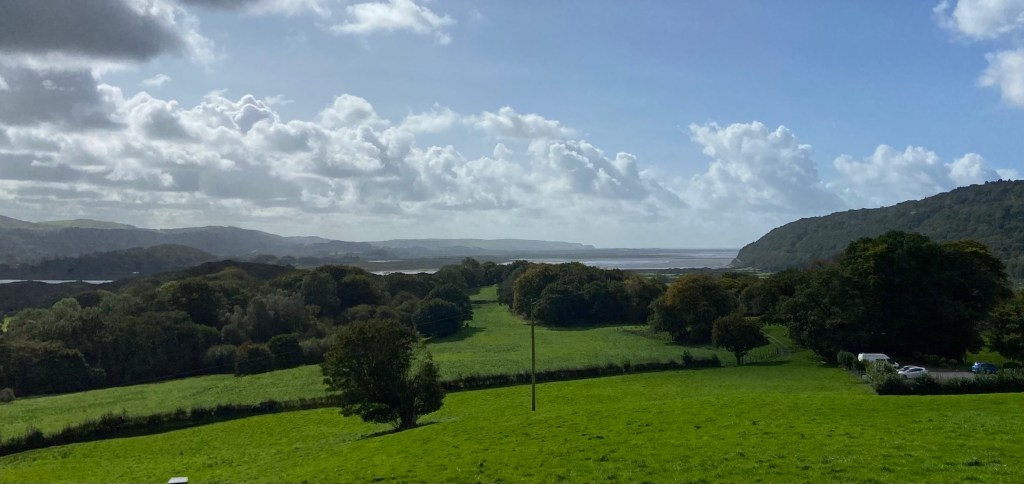
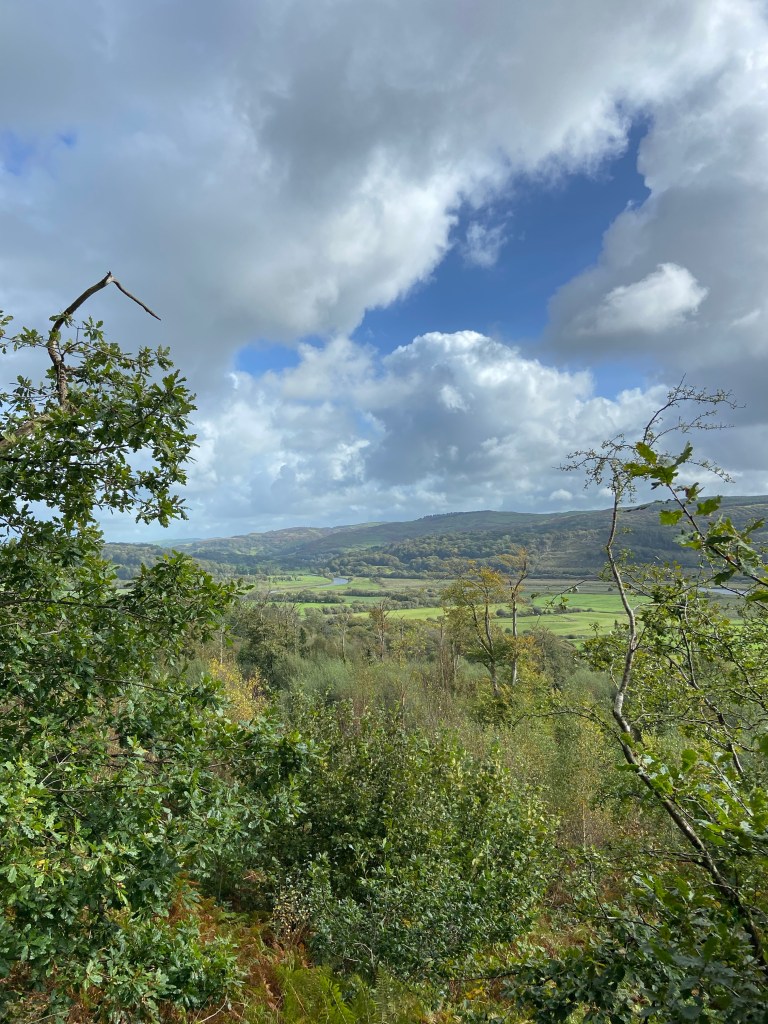
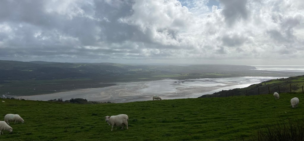
The Wales Coast Path tracked back now back over to the north side of the long A-road into Aberdovey, and rose again up onto a section that on the map was marked, excitingly, the ‘Panorama Walk’. I had to climb steeply to get the panoramas, but once I was on top of the ridge, there they were in all directions: to the west where I had come from,

south over the tidal river valley,
away north over lush agricultural land,

and forward, west towards my destination: the blue and turquoise water of Cardigan Bay.

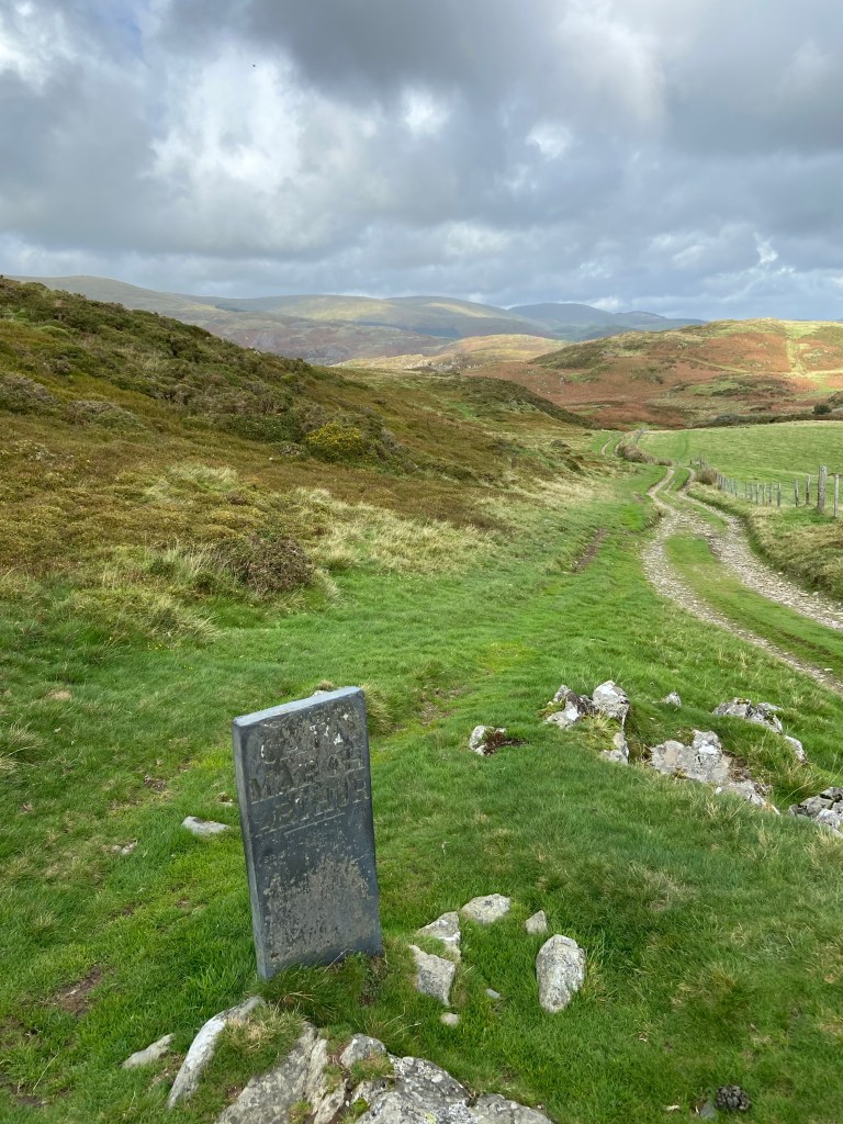
I helped a couple heading in the opposite direction along the ridge to manage a tricky gate opening, and they asked me how far it was to ‘the Bearded Lake’. Bearded Lake? What Bearded Lake? I looked it up when I got back and apparently there was an Arthurian connection with a lake just over the hill from the track that I had completely missed, although I had wondered about a slate sign marked ‘Carn March Arthur’ — Arthur’s Horse’s Hoof. The legend was that a monster called the Afanc had made its lair in the lake and was terrorising the local villages. When Arthur came to rid the area of the monster his horse struck a hoof print into a rock on the hill.
The couple had walked miles for their picnic at the beauty spot and still had a way to go. I did too: the ridge seemed never ending, but eventually the path did turn off and descend through a wooded valley alongside a stream.

I thought that would take me down to the road, but no: gratification was further delayed. The path wound first through a wasteland of buddleia and super-spikey gorse
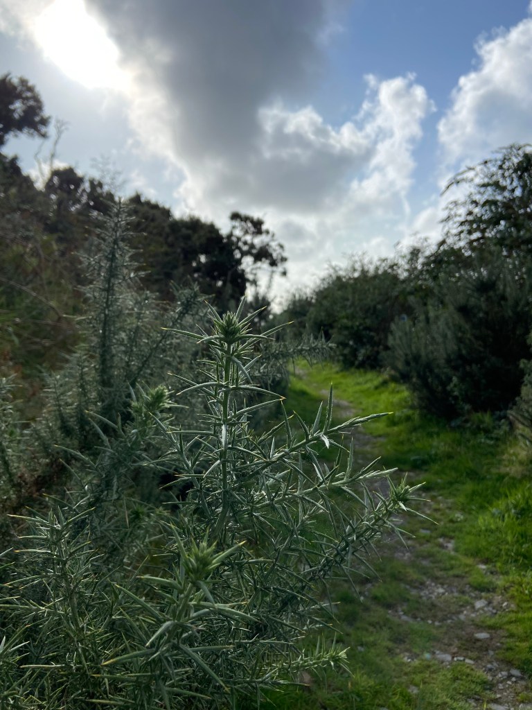
revealing occasional tantalising glimpses of shining water and silver sand through quintessentially coastal pine trees.
And finally, after a long day of 25km and a huge amount of climb over a day which I had thought would be a gentle processional descent to the seaside: nearly 700 meters, I reached sea level.
My first appointment was an ice cream parlour. I got myself a stonking icecream as a reward (and also because my water had run out way back up on the ridge),
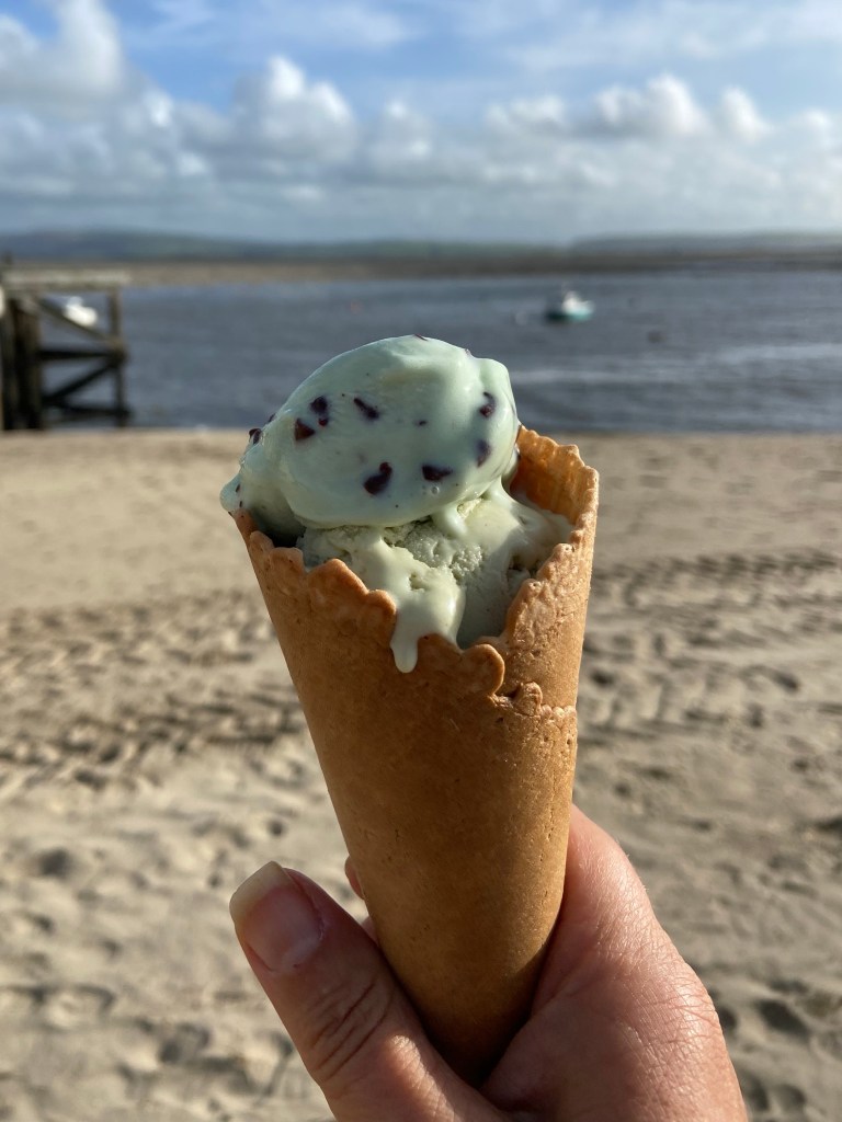
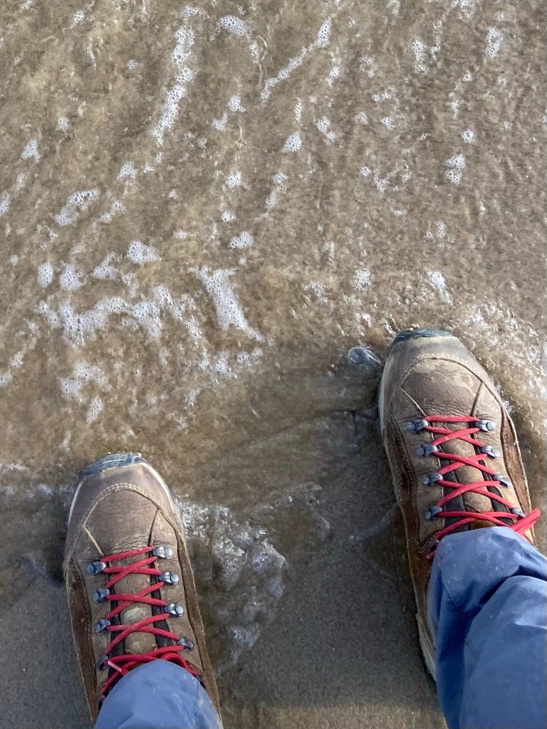
and went down to the water’s edge to dip my boots ritually in the Irish Sea.
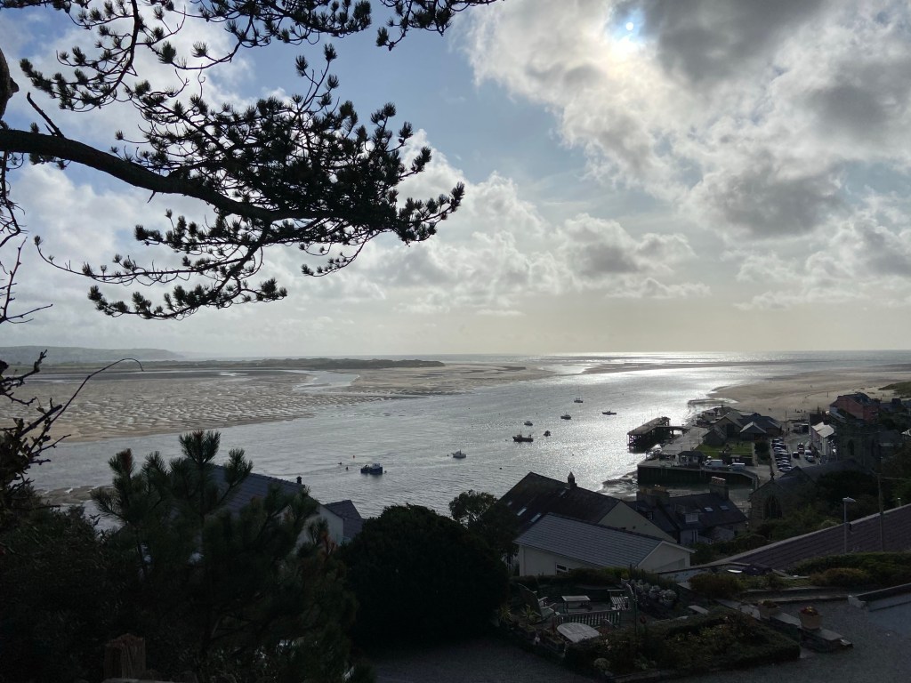
The tide was on the turn. There were ravishing views over the estuary,

and westwards up the beach looking into the sun.

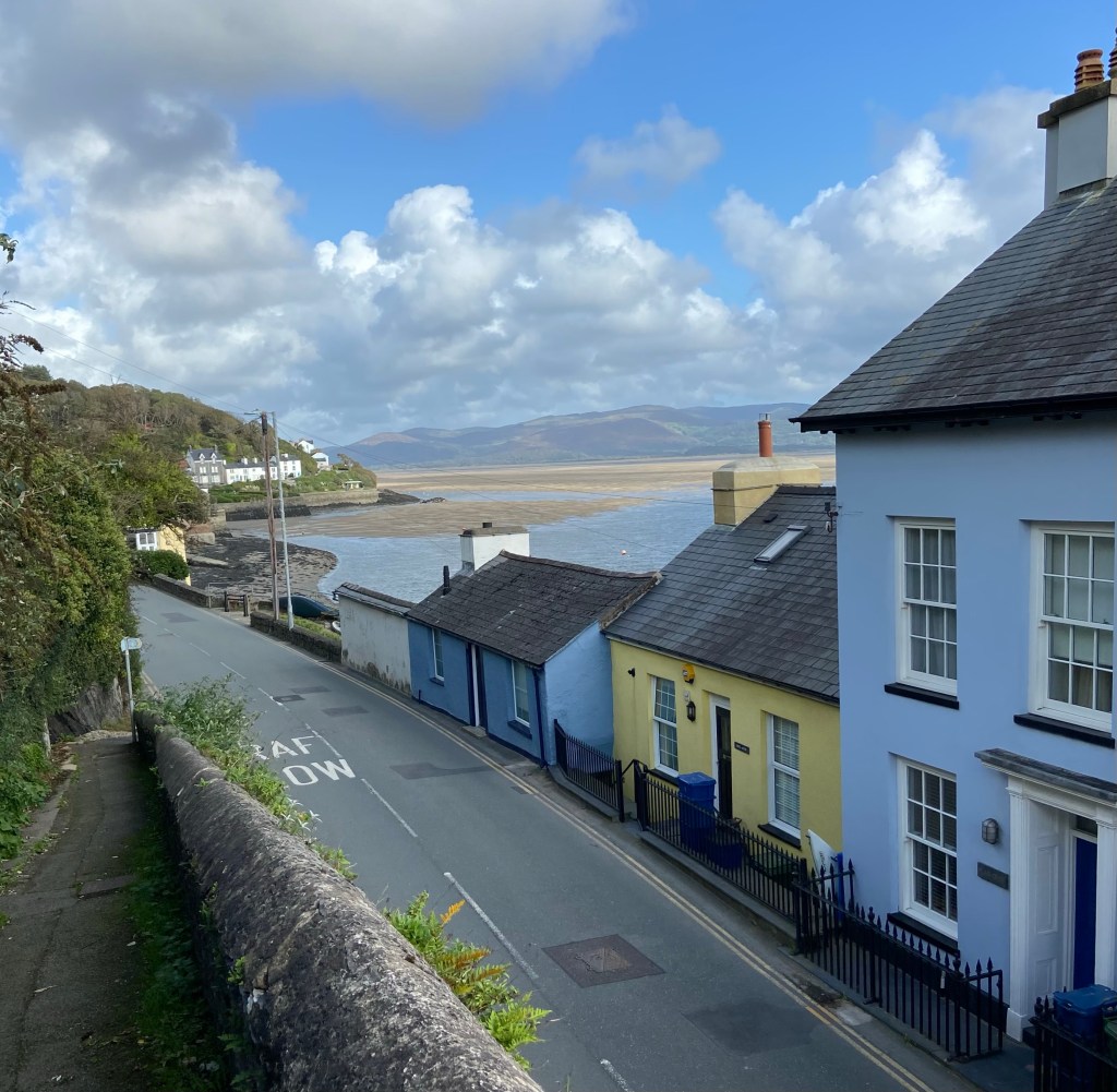
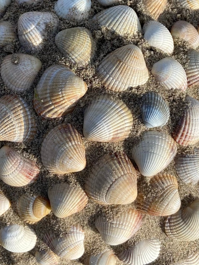
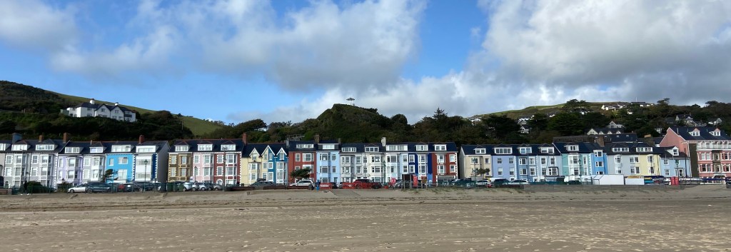
I’d timed it just right; I had just enough time to enjoy the beach properly
before heading back to the seafront to meet Stephen.
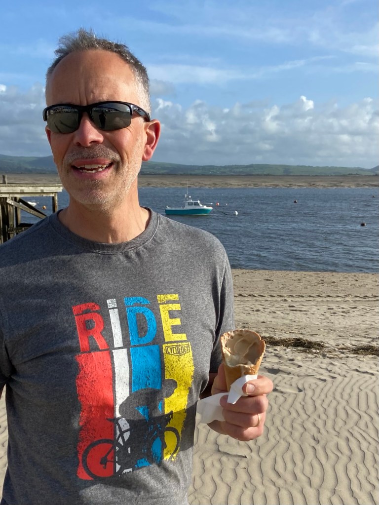
It was a wonderful reunion. This was his exeat weekend, and he’d driven over to collect me (two and a half hours by car, eight days on foot!), timing it perfectly to arrive twenty minutes after me. Once he’d also enjoyed his well-earned icecream I loaded my pack and poles into the car, and we headed north for a family weekend on Anglesey — a glass of wine, a long soak in the hot tub and a proper rest.
Diwedd

Well done! Have a restful weekend. Thank you for letting us go with you. I thoroughly enjoyed your photos and commentary. X
LikeLiked by 1 person